
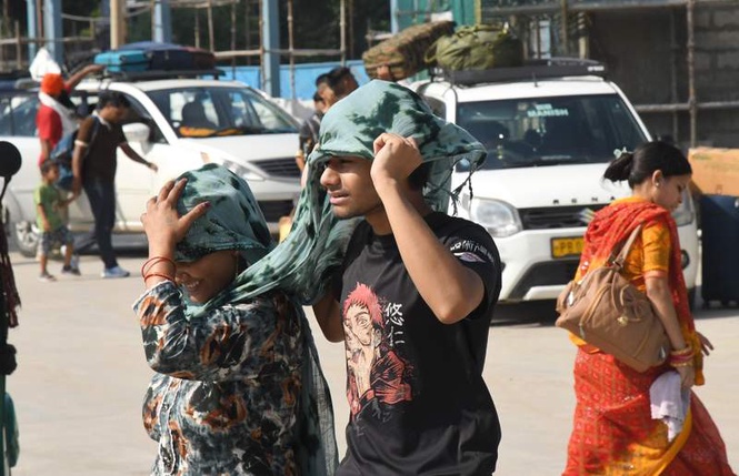
In a weather paradox that perfectly captures the volatile mood of a pre-monsoon June, Chandigarh logged the hottest day temperature and the coolest night temperature across the entire Punjab-Haryana region on Tuesday, a dual record that underlines the dramatic swing between scorching afternoons and storm-cooled evenings that has come to define this season.
According to the India Meteorological Department’s (IMD) evening media bulletin, Chandigarh’s maximum temperature settled at 39°C, a rise of 4°C over the previous day, placing it as the second-highest maximum temperature in the combined Punjab-Haryana belt, surpassed only by Rohtak in Haryana, which recorded a searing 41.2°C, the highest in the state. Critically, every other reporting station across both Punjab and Haryana remained cooler than Chandigarh through the day, making the city the warmest point in the entire northwest plains outside of Rohtak.
Yet, the same Chandigarh that baked through the afternoon logged the region’s coolest Monday night, with the minimum temperature dipping to 22.2°C, a sharp 5.4°C below normal. The contrast is stark. While Patiala sizzled to become Punjab’s hottest spot at 38.8°C and several Haryana stations hovered in the 37–39°C range through the day, Chandigarh’s night brought more relief than anywhere else in the two-state region.
YELLOW ALERT IN FORCE, BUT TRICITY STAYS DRY
The IMD’s seven-day weather outlook paints a picture of a region walking a fine line between pre-monsoon thunderstorm activity and stubborn dry spells. A yellow alert for thunderstorm, lightning and gusty winds touching 40-50 kmph remains active over Chandigarh, Punjab and Haryana through Friday, with scattered showers possible at isolated locations from Tuesday through Friday.
However, as Tuesday drew to a close, the yellow alert had produced virtually no impact on the Chandigarh Tricity. The IMD forecast for the Tricity suggests a gradual rise in temperatures from Wednesday onwards, with maximum temperatures expected to remain around 38-39°C through the week, while minimum temperatures are likely to range between 25-26°C. Partly cloudy skies are expected to persist, but widespread rainfall is not indicated.
The weekend is set to be completely dry across the Tricity, with residents unlikely to see any cloud cover of consequence.
The yellow alert is, however, expected to return on Monday, as fresh western disturbance activity keeps the system active intermittently across the region.
HARYANA HOTTER, PUNJAB WARMER — ROHTAK THE OUTLIER
Across Haryana, temperatures broadly rose by 1.4°C compared to the previous day, though conditions remained near-normal across the state. The lone exception was Rohtak, where the mercury touched a fierce 41.2°C, nearly two degrees above normal and the highest temperature recorded anywhere in the two-state region today. Among other major Haryana stations, Ambala recorded 38.8°C, Karnal 38.6°C and Hisar 37.9°C.
In Punjab, the rise was more pronounced, 2.5°C higher than Monday on average, with Patiala leading at 38.8°C, followed closely by Faridkot and Gurdaspur at 38°C. Chandigarh’s maximum of 39°C, however, outpaced every Punjab station except for the peak Haryana outlier, firmly placing the Union Territory at the top of the regional temperature chart.
A CITY OF EXTREMES
Maximum relative humidity stood at a sultry 77% while minimum humidity dropped to a parched 31%, a wide diurnal swing reflecting the unsettled, transition-phase nature of current weather. Seasonal rainfall from June 1 to today morning stands at just 40.1 mm, a staggering 62.8% below normal against the long-term average for this period. No rainfall was recorded in the past 24 hours, confirming the yellow alert’s complete non-impact on the Tricity today.
THE MONSOON THAT REFUSES TO COME
Behind all the daily temperature charts and alert tables lies the season’s defining anxiety: the southwest monsoon’s continued absence from Chandigarh, Punjab and Haryana. Even as the southwest monsoon has revived over parts of central India after remaining stalled for nearly two weeks, Chandigarh, Punjab and Haryana continue to wait for its arrival, with meteorologists indicating that the monsoon is likely to reach the region only towards the end of June.
The normal date of onset of monsoon in this region is June 30. Meteorologists confirmed that the monsoon is currently delayed by three to four days and is expected to reach Chandigarh and Punjab by the end of June, before advancing into central and western parts of Haryana. “The monsoon’s flow is progressing from east to west in India. Presently, it is stalled over Bihar. However, conditions are becoming favourable for its further advance,” they said.
The delay, meteorologists warn, is not simply a calendar matter. Weather experts attribute the delay to the prolonged stagnation in the monsoon’s northward advance after an initially rapid onset, with persistent western disturbances over north India and the temporary weakening of monsoon currents preventing the system from advancing into northwest India on schedule.
A senior meteorologist described the region as currently witnessing a transition phase between pre-monsoon thunderstorms and the eventual arrival of the southwest monsoon.
Adding a longer-term dimension to the concern, the weathermen also flagged the influence of El Niño conditions: “El Niño happens when warm water builds up along the coast of South America. This rise in ocean temperature changes the movement of air and clouds across the globe, which can disturb regular wind patterns. For India, this often results in a weak or delayed monsoon season.”
THE FLASHBACK
The 2025 southwest monsoon advanced through parts of Haryana on June 24 and covered the entire state by June 29, a relatively smooth and near-normal arrival last year. This year, the monsoon reached Kerala only on June 4, a slight delay compared to the typical June 1 arrival date, and its northward momentum has since weakened considerably. The IMD projections peg monsoon arrival in Haryana between June 26 and July 1, and in Punjab between June 27 and July 3, suggesting the worst-case scenario could push the onset in parts of Punjab well past the normal June 30 date.
The rainfall deficit has already piled up. From June 1 to June 22, Chandigarh received 60% less rainfall than normal, only 39.3 mm against the long-term average of 97.1 mm. Punjab’s deficit stood at 25%, and Haryana was 16% below normal during the same period.
For now, residents in Chandigarh, Punjab, and Haryana must wait, comforted only by the occasional thunderstorm at isolated places, a yellow alert that largely promises more than it delivers, and the meteorologists’ cautious assurance that the monsoon is indeed on its way, if not quite on time.

