

Forecasters have warned “extreme thunderstorm activity” could develop over parts of Ireland, as the island also approaches record temperatures.
Ireland has been experiencing sweltering conditions as a plume of extremely hot air that brought temperatures in excess of 40C to Europe drifted towards the island this week.
The conditions led to Met Éireann issuing an orange-level thunderstorm warning for three counties.
Ireland’s national weather agency had already placed the entire country under a status yellow high temperature warning since noon on Tuesday and later extended the measure until 9am on Saturday.
Both Met Éireann and the UK Met Office have issued thunderstorm warnings which will mean the entire island will be under some form of weather advisory into Friday.
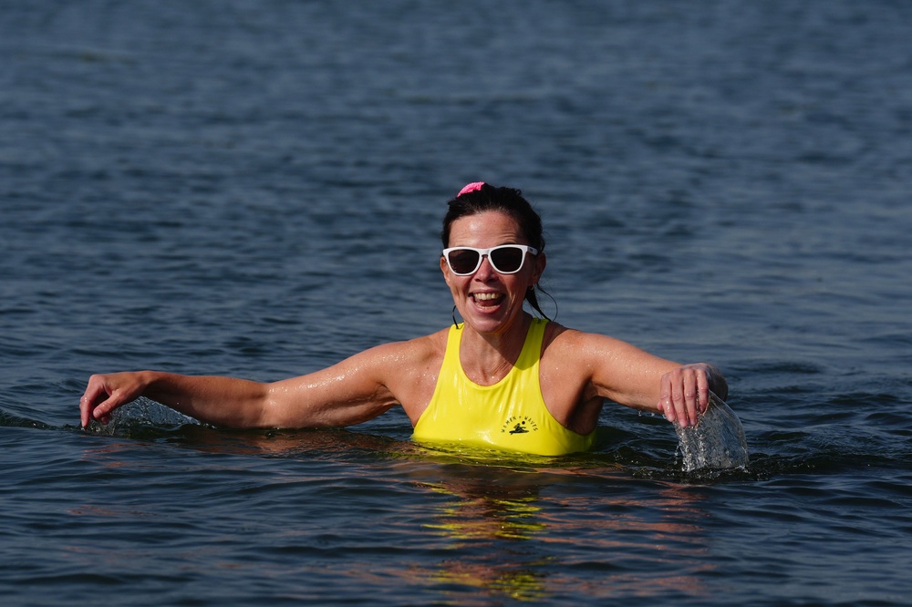
Temperatures in the Republic of Ireland had already exceeded 30C in parts by 2pm on Thursday, and a meteorologist said an all-time record heat could be “challenged”.
The continued high temperatures mean that parts of Ireland will possibly fall under the official definition of a heatwave by Friday, after experiencing five consecutive summer days of above 25C.
An orange-level thunderstorm warning was announced for between 4pm and 7pm in Cork, Kerry and Waterford.
A separate yellow-level thunderstorm warning for Donegal, Galway, Leitrim, Mayo, Roscommon, and Sligo applies to between 3pm on Thursday and 6pm on Friday.
Met Éireann warned of “torrential downpours” leading to flooding in places, lightning damage, “large hail”, hazardous driving conditions and very gusty winds.
It said that if the necessary thunderstorm triggers of moisture, instability and a lifting mechanism are met, it is “likely that parts of the northwest and west will experience extreme thunderstorm activity” on Thursday, and other areas will have less severe activity on Friday.
A separate thunderstorm warning was announced for all of Northern Ireland.
The UK Met Office yellow warning will be in place from midnight until 10am on Friday.
It said heavy showers and thunderstorms may bring disruption in places on Friday and there was a “small chance that homes and businesses could be flooded quickly, with damage to some buildings from floodwater, lightning strikes, hail or strong winds”.
The Met Office also said there was a “slight chance that power cuts could occur” and other services to some homes and businesses could be lost.
More generally, Met Éireann said the high temperatures also bring water safety issues because of increased use of lakes and beaches, uncomfortable sleeping conditions, heat stress and possible forest fires.
The highest temperature recorded in the Republic of Ireland was 33.3C at Kilkenny Castle on June 26 1887.
Asked if that record could be broken, Met Éireann meteorologist Gerry Murphy said temperatures would be in the high 20s everywhere and potentially into the 30s in the Midlands and Connacht.
He told RTÉ’s Morning Ireland on Thursday: “There is potential for the record to be challenged, but it’s not in any way certain that it’s going to be broken.
“There’s a number of factors.
“The temperatures yesterday in the west didn’t get up as high, because it was a fair amount of clouds, so that means today is not starting at a high base as it might be.
“And secondly, as we go through the day, there are actually thunderstorms off the west coast at the moment, and if the cloud moves in a bit further inland and those thunderstorms begin to develop later, that may keep a cap on the temperature.”
Northern Ireland’s record temperature was 31.3C on July 21 2021 at Castlederg, Co Tyrone.
The UK Met Office said Thursday would be another mainly dry day with some long spells of “hot or very hot sunshine”, although coasts will be a little cooler with onshore breezes developing.
It said there was a risk of the odd shower developing later in the afternoon with a maximum temperature projected to be 29C.
The Government of Ireland said people were advised to stay in the shade, avoid going out or taking part in strenuous activities during the hottest part of the day, to drink plenty of fluids, and apply sunscreen to uncovered skin.
Ireland’s climate is projected to get warmer, with average temperatures increasing across all seasons and on an annual basis, while the number of heatwaves is also likely to increase.
In its annual climate statement, Met Éireann said Ireland’s overall warming continues in line with the global warming trend, with seven of the top 10 warmest years in the country happening since 2005 and last year being the second warmest year on record.
Further warming means the likelihood of extreme weather events has increased.
Climate change poses risks across all sectors of the economy, society, and environment, from energy, transport and communications to water security, public health, food production and supply and ecosystems.
In addition, the country will become wetter overall with an increase in average rainfall.
That rainfall will come as part of increased seasonality, meaning wetter winters and drier summers, with more frequent droughts projected for summer and spring months.
The Environmental Protection Agency also said there will be an increased exposure to coastal flooding with a projected rise in sea levels.
Read MoreFrom Spain to Ireland: What to know about the deadly heatwave across Europe
Luxury consumers seen nudging sector back to growth despite global tensions
Weather warnings for whole island of Ireland as new record temperature possible
Thunderstorm warning issued for Scotland after days of baking heat
Death of the convertible? Choice of new models sinks to lowest level in decades
Girl injured in Parnell Square stabbing has ‘life-limiting, severe disability’


