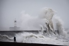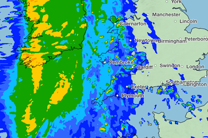
An amber “danger to life” wind warning has been issued for parts of southwest England, where heavy rain and severe gusts of up to 80mph are forecast.
Storm Austen, the first of two storms hitting the UK this weekend, is expected to cause travel chaos and potential damage towards the tail end of the week.
In effect from 1am until 10am on Friday, the amber alert applies to Cornwall, Devon, Plymouth and the Isles of Scilly. Gusts between 60mph and 70mph are predicted across these areas, peaking at 80mph in exposed spots.
Heavy downpours may also develop, though winds are expected to ease gradually as the rest of Friday unfolds.
The weather service warned of likely power cuts and building damage, alongside a “danger to life” warning along sea fronts and coastal roads due to large waves and thrown beach debris.
A broader yellow weather warning covers parts large swathes of Wales, Herefordshire in the West Midlands, and the South West and South East from midnight on Thursday to 5pm on Friday.
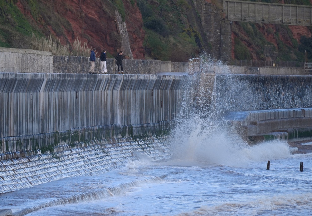
Strong winds will sweep across southern regions of England and Wales from Thursday night, bringing speeds of 50 to 60mph, with exposed locations reaching 70mph or higher.
A yellow warning for rain has been issued in parts of Scotland between 6am on Friday and 3am on Saturday.
Met Office deputy chief forecaster Chris Bulmer said: “Storm Austen is expected to bring a spell of impactful weather to parts of the UK from Thursday night and through Friday.
“While there remains some uncertainty in the exact track of the storm, there is increasing confidence in the potential for disruptive winds across parts of southwest England, which is why an Amber warning has been issued.
“Wind gusts could potentially reach 60-70mph for a time, and these strong winds will be combined with spells of heavy rain.
“People in affected areas should keep up to date with the latest forecast and warnings as the event develops.”
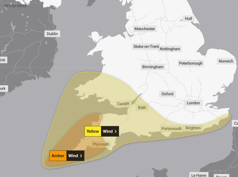
A new yellow warning for wind has also been issued for a large area of England and Wales. This warning runs from 10am to 9pm on Friday and warns of gusts reaching 45-55mph across the area.
A yellow weather warning for wind has been issued from Saturday evening to Sunday evening across Scotland, north east and north west England and north Yorkshire, as Storm Boela hits the UK.
A separate yellow warning for wind has also been issued for Northern Ireland from Saturday evening until Sunday afternoon.
The Met Office said the weather is expected to remain unsettled through the weekend and into next week while low pressure is likely to bring strong winds to northern parts of the UK on Saturday and Sunday.
Ross Macleod, RNLI water safety manager, has asked people not to take “unnecessary risks” when visiting the coast.
He said: “If you plan to visit the coast or a waterside location, we urge you to stay a safe distance from the water as conditions could knock you off your feet or wash you into the sea.”
The Met Office storm year runs from September to August, with each 12-month period having its own alphabetical list of names that are used to label successive storms.
This year’s list begins with Austen and continues with Boelo, Chloe, Dano and Evelyn, ending at W with Wende.
Read MoreStorms Austen and Boelo set to batter parts of UK with wind and rain
Second storm to hit UK this weekend as Storm Boelo forecast to bring wind and rain
Experts give advice on what you need to buy to prepare for winter weather
Mapped: Where storms Austen and Boelo will smash UK this weekend with 80mph winds
UK government services hit by worldwide cyber security threat
HMRC boss fired after tracking employee on Greggs break wins unfair dismissal case