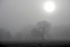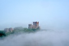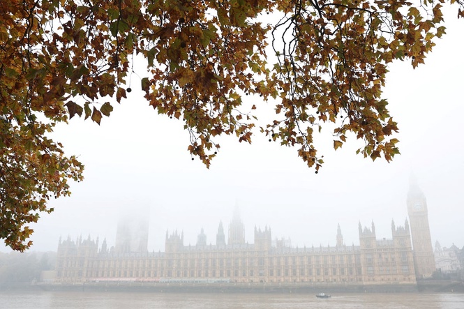
The Met Office has issued a yellow fog warning across parts of England and Wales, warning of likely travel delays on Sunday.
The warning remains in place until 10am, though the forecaster said some patches of fog could persist into the afternoon, and people should be prepared for conditions to change.
Forecasters say visibility will vary, with some dense fog patches bringing it down to less than 100 metres.
In England, the warning covers the East Midlands, East of England, London and South East England, North West England, South West England, the West Midlands and Yorkshire and Humber.
In Wales, it takes in Denbighshire, Monmouthshire, Powys, Torfaen and Wrexham.
Traffic delays are expected as a result of the heavy fog, and anyone flying should also plan for delayed or cancelled flights.
The forecaster advised drivers to check road conditions before setting off and to make sure their fog lights were working.
Thick fog will greet some of us as we open the curtains on Sunday - this only slowly lifting through the morning.
— Met Office (@metoffice) November 7, 2026
Consider allowing extra time if you need to travel, as you may need to de-frost your car first thing too🚙
Some sunshine developing away from the fog 🌁➡️🌤️ pic.twitter.com/qNUOsKI8jG
Tom Morgan, meteorologist at the Met Office, said on Sunday morning: “Most of the fog now is starting to lift and clear, and the visibilities aren’t as bad as they were earlier. But nonetheless, if you are travelling, give yourself some extra time for your journey, use fog lights if you have them.
“Be prepared, perhaps, for some travel disruption. That means slower journey times, etc.”
Mr Morgan said the fog would be “less of an issue” over the next few days, which could bring dry weather across most of the country and even sunny spells for some.
He said: “High pressure will dominate, which is still unfortunately bad news for southern regions in particular, which are experiencing the severe drought conditions that we’ve seen for several months now.
“There may well be a few showers at times, particularly in Kent, very far south-east of England tomorrow (Monday) and on Tuesday.
“But for all other parts of the UK, it’s largely going to be dry.”
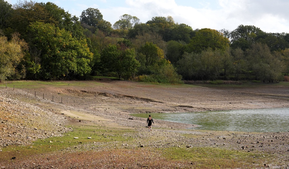
Much of the country remains officially in drought, with a severe drought in place across parts of the South West and Sussex.
Mr Morgan said the dry conditions in the coming days mean many could be out on Bonfire Night on Thursday.
He said: “The weather does mean that we do have bonfires, celebrations, events rather going on through this week.
“There could be quite a lot of kind of smoke and trap kind of poor visibilities at times because of that, because of the high pressure.
“But we’re not really expecting that to cause too many hazards.”
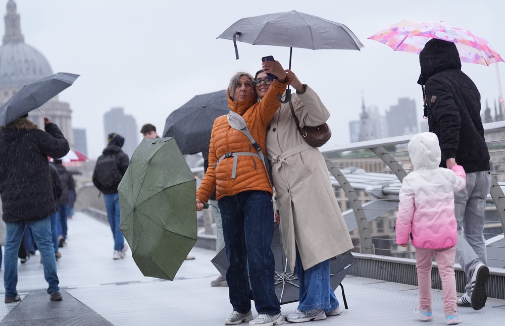
It comes just days after England was battered with rain, leading to increased river levels in many parts of the country.
Storms Austen and Boelo caused England to have its wettest week since October 2024.
Austen triggered an amber warning from the Met Office for strong winds and rain across Cornwall and parts of Devon on October 23, along with a yellow warning for much of central and southern England.
Gusts reached nearly 80mph on the Isle of Wight; flights were cancelled and thousands of homes were left without power.
Boelo arrived the following day, this time prompting an amber warning for wind over Scotland, with a yellow warning covering northern England.
UFC boss to meet with Trump to discuss press secretary job offer
A-levels teacher defends giving pupil explicit books: ‘They’re young adults’
Bear browses supermarket aisles in Morrisons’ festive take on fairytale
King Charles to be joined by Burnham for Remembrance Sunday service
Veterans and politicians to remember fallen at Edinburgh remembrance service
Huge M20 crash involving more than 30 vehicles leaves two people seriously injured