Britons can expect a change in conditions after storms Austen and Boelo brought a battering of wind and rain that left three people dead.
High pressure is moving in, bringing drier conditions after the two storms caused “disturbed and unsettled” weather.
Met Office forecaster Craig Snell said the UK would see a “big flip in the weather” over the next 48 hours.
He said: “We’re saying goodbye to the low pressure and saying hello again to high pressure.”
But he said the calmer conditions will bring a new hazard – with dense and stubborn fog threatening to disrupt morning journeys.
Mr Snell said Wednesday would still be “fairly blustery” with scattered showers before winds begin to drop in the evening.
He added: “Come Thursday morning, some parts of the south and central parts of the UK could wake up to some fairly dense fog patches.
“They will be quite slow to clear. We’re entering that time of year where fog can be quite stubborn to move once it’s formed.”
The deaths came during a wet and windy spell which had battered the UK since last Thursday.
Two men were killed by falling trees on Sunday: a man in his 20s in Finchley, north London; and Richard Baines, 60, in Dumfries and Galloway.
A woman in her 50s died after being pulled from the sea off the Isle of Wight.
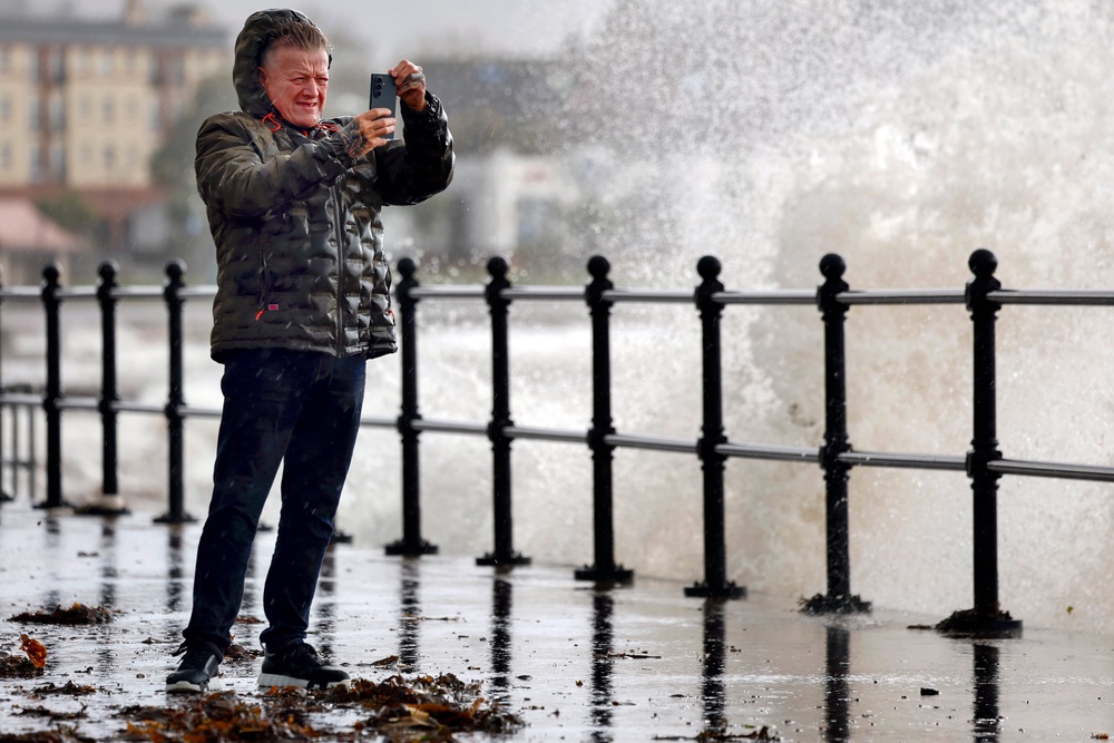
She was walking her dog when she was reportedly caught by waves on the revetment between Sandown and Shanklin on Monday, according to the Isle of Wight County Press.
Her dog survived, the newspaper reported.
Mr Snell said Storm Austen hit Cornwall and Wales hardest, while Boelo bore down on Scotland, Northern Ireland and northern England.
Provisional Met Office data shows Storm Austen brought a maximum gust of 69 knots (about 79mph) to the Isle of Wight.
Storm Boelo saw wind speeds in some exposed areas reach the low 80s mph.
Heavy rain was also a feature of both storms.
Abbey St Bathans in Berwickshire recorded 77.6 mm of rain during Storm Austen.
Some 134.4 mm was recorded in Ross and Cromarty during Storm Boelo.
Mr Snell said: “Many of us have certainly seen some very wet and windy weather.”
But next weekend is expected to be “very different” to the last.
Much of England and Wales is forecast to remain dry into the beginning of November, although weather fronts may still bring rain to Scotland and Northern Ireland, forecasters say.
Mr Snell said the main risk of any disruption over the next five days would be from “dense fog patches rather than wind and rain”.
People living in coastal areas have been urged to remain vigilant to flooding as wind warnings for the rest of the country were lifted.
Ministers held a meeting of the Scottish Government's Resilience Room (SGoRR) on Tuesday amid ongoing disruption due to severe weather warnings.
The Scottish Government is urging those in coastal areas to remain vigilant as a yellow risk of flooding is still in place on Tuesday and through to Wednesday in northern parts of mainland Scotland and the Northern Isles.
Read MoreAll of the new October driving licence rules – including key update for older drivers
Huge swarm of AI bots flooded vape ban consultation to influence outcome, study finds
Experts give update on whether polar vortex will hit the UK this November
Gas bill standing charges to be scrapped for millions, Treasury says ahead of Budget
Family of UK couple jailed in Iran demand stronger action after Miliband meeting
Standing charges to be scrapped from gas bills next year – Treasury