Severe wind gusts and golf-ball-sized hail battered central and northern Arizona during an unusual storm system that brought threats of tornadoes and potential flash flooding to the region.
Multiple alerts were released by the National Weather Service as intense thunderstorms swept across the state from late Tuesday into Wednesday. Officials urged residents to take cover and remain clear of windows while destructive 2-to-3-inch hail crushed vehicle bodies, shattered glass windows, and battered roofs.
Several regions were placed under tornado watches, marking the state's first such advisories since Oct. 6, 2010.
"This is very unusual for this area at this time of the year," said Ryan Bernhart, a National Weather Service meteorologist in Flagstaff.
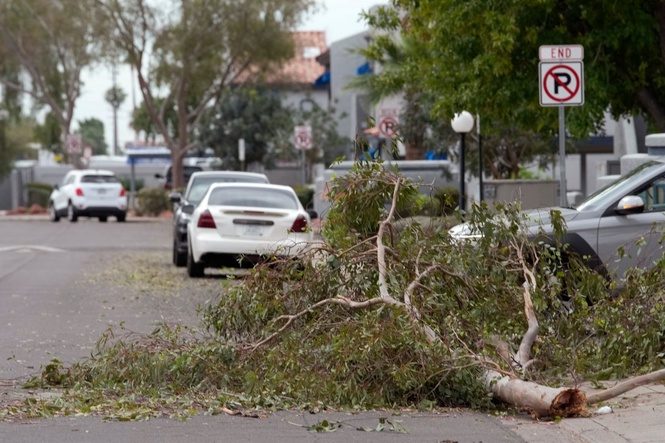
Powerful gusts brought down trees across Mesa and Flagstaff, with debris falling onto carports and walls. In Coconino National Forest, northwest of Flagstaff, a few dozen ponderosa pines taller than 30 feet collapsed.
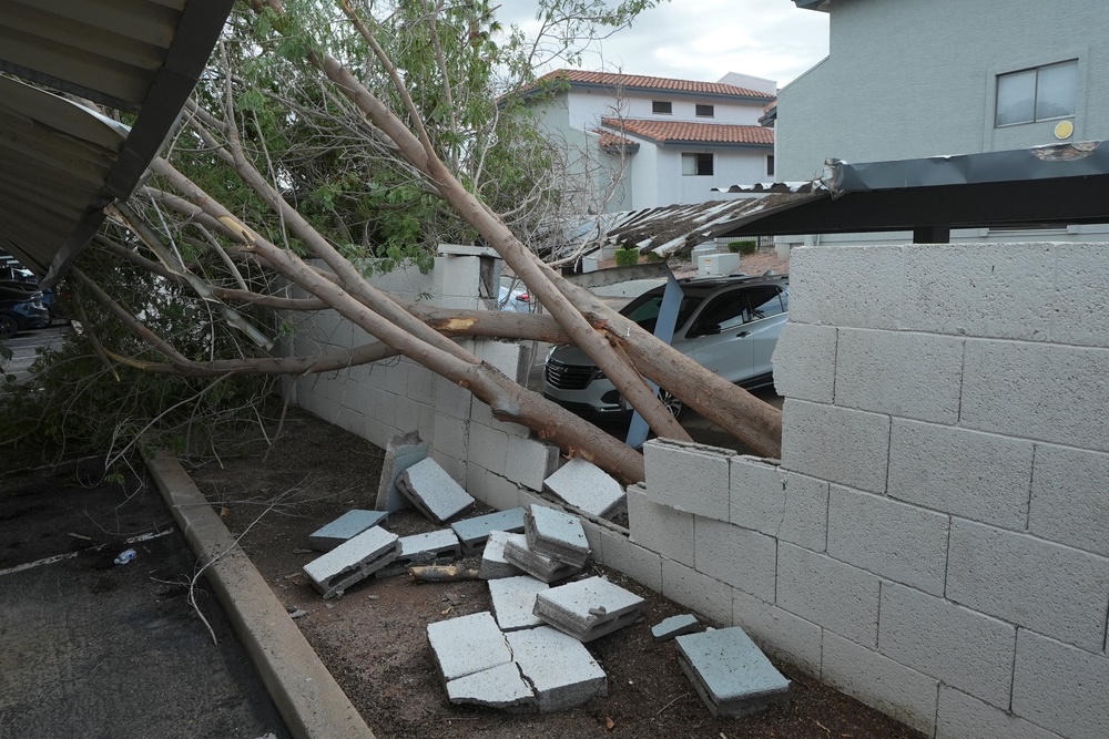
"These are not small trees that are down," Bernhart said. "These are pretty strong trees that had been knocked down."
According to Mark O’Malley, a meteorologist at the National Weather Service office in Phoenix, heavy rainfall and potential flash flooding pose the primary hazard to the Phoenix metropolitan area tonight and through Thursday morning.