
NASA wants you to have your head in the clouds – for science.
Starting next week, the space agency hopes people can step outside and snap shots of the sky when the PACE satellite passes overhead.
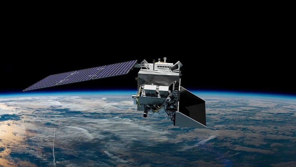
The PACE satellite – also known as the Plankton, Aerosol, Cloud, ocean Ecosystem satellite – was launched into orbit in February 2024 to help scientists better understand Earth’s oceans, atmosphere and changing climate.
While the satellite records data looking down the clouds, NASA needs citizen-generated information to know how closely that satellite view matches what a person standing underneath sees looking up.
The data can help to aid weather forecasting and track air pollution threats, as well as aid scientists’ understanding of air quality and cloud composition.
“We want to be able to identify whether or not each pixel in a satellite image is a cloud or not, because if it's cloudy we want to determine the properties of that cloud, and if it's not cloudy we want to determine the properties of the atmosphere and surface underneath the cloud,” Dr. Andrew Sayer, the atmosphere science lead for PACE’s Ocean Color Instrument, explained in a statement shared with The Independent.
Right now, it’s difficult for Sayer and his colleagues to tell how well the satellite’s cloud detection techniques work. That’s especially true near cloud edges and in situations where clouds are broken.
“So the ground observers will help us to assess that,” he said.
So how can people find out when PACE is overhead?
There’s a free app available for both iOS and Android systems. It’s called the GLOBE Observer app.
Citizen scientists will have to create an account through the app and set alerts for times that PACE may fly over. The satellite circles the Earth every 98 minutes.
People should head outdoors within five minutes of the satellite passing above them and then collect the six directional photos NASA asks for, also determining what the sky looks like, color and visibility and types of clouds in the sky.
Those who want to go above and beyond can tell NASA what kind of device, which indicates how much of the sky is included in each photo.
And you can submit data up to twice a day during daylight hours depending on the PACE satellite.
NASA will send people an email and certificate of recognition for participants who record observations during the optimal time and send over the photos.
But those who are busy next week and want to participate should not fret.
The challenge lasts for just over a month, running from September 15 through October 15.
Read MorePentagon continues to rely on the pseudoscience of lie detector tests to hunt leakers
Little Mercury may be shrinking faster than scientists expected