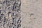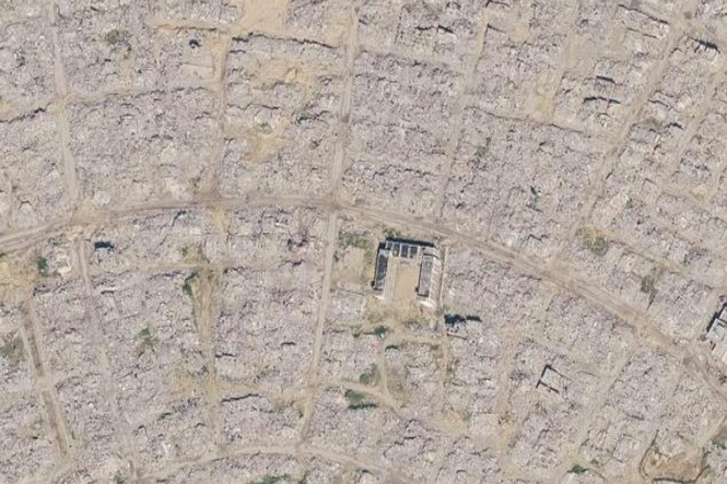
- Updated Google Earth satellite imagery has revealed the unprecedented scale of destruction across Gaza, where over 80 per cent of structures have been damaged or destroyed by Israeli military action.
- A United Nations report found that Gaza is facing its worst economic crisis in history, with 90 per cent of working-age Palestinians now unemployed.
- An estimated 60 million tonnes of debris covers the territory, with experts estimating that clearing the rubble could take up to decades.
- UN experts have warned that Israel's removal and compaction of rubble risks destroying evidence of potential war crimes and human remains.
- The UN has called for international investigators to be granted full access to Gaza to document alleged human rights violations, as foreign journalists remain barred by Israel.
IN FULL