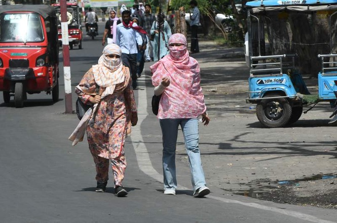
The Indian Meteorological Department (IMD) has predicted a heatwave in parts of Punjab and Haryana for three days, from June 28 to June 30.
However, a few areas of Punjab and Haryana, as well as Chandigarh, are expected to receive isolated to scattered rainfall on July 1 due to a western disturbance. On July 2 and July 3, heavy rainfall is predicted at isolated places, with gusty winds of 40-50 kmph. On July 4, thunderstorms with gusty winds of 40-50 kmph are also likely.
“There will be no appreciable change in the day temperatures. Once the thunderstorm cycle starts, the temperatures will fall by 4-6 degrees Celsius gradually,” said Director, Indian Meteorological Department (IMD), Chandigarh, Surender Paul.
Meanwhile, the northern limit of the monsoon on June 28 is in Surat, Indore, Mandla, Daltonganj and Motihari. It is yet to enter Uttar Pradesh.
According to Paul, the monsoon is running late and is likely to reach Chandigarh and northern Punjab in the first week of July.
The monsoon flow from east to west in India. At present, it is stuck. “The monsoon will enter Uttar Pradesh (UP) soon from the eastern side and will reach western UP in the next three to four days. It will then enter Uttarakhand and Himachal Pradesh. After that, it will touch the northern parts of Punjab and Chandigarh, and then it will move towards Haryana,” said Paul.
He added that the normal date for the arrival of the monsoon in Chandigarh and the northern parts of Punjab has been revised to June 24, based on the long-term average. “Thereafter, it enters other parts of Punjab and Haryana,” he added.
According to the IMD, the El Niño has set in the Pacific Ocean, which delays and weakens the south-west monsoon. According to Paul, El Niño happens when warm water builds up along the coast of South America. “This rise in ocean temperature changes the movement of air and clouds across the globe, which can disturb regular wind patterns. For India, this often results in a weak or delayed monsoon season,” he said.
“Another factor is the flow of north-westerly winds, which is hindering the progress of the monsoons. The frequent Western Disturbances in the region is also a factor,” added Paul.