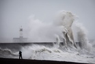
The Met Office has declared a second named storm in a matter of days, with fresh weather warnings issued as severe winds are set to batter the UK this weekend.
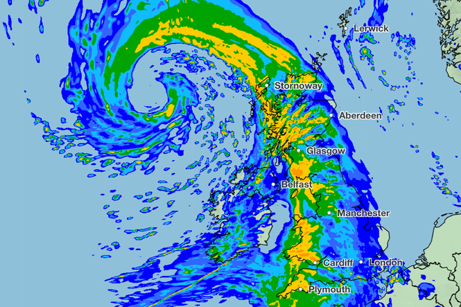
Storm Boelo is due to hit the UK on Saturday, bringing strong winds and heavy rain to large parts of the country, the forecaster said.
A yellow weather warning for wind has been issued from Saturday evening to Sunday evening across Scotland, north east and north west England and north Yorkshire.
A separate yellow warning for wind has also been issued for Northern Ireland from Saturday evening until Sunday afternoon.
Storm Boela is a separate low pressure system to Storm Austen, which will bring strong winds and heavy rain to southern parts of England on Thursday night and Friday. Storm Austen clears into the North Sea by Friday evening.
Chris Bulmer, Met Office deputy chief forecaster, said: “Storm Boelo will bring strong winds and heavy rain to Northern Ireland, Scotland and parts of northern England over the weekend, impacting the opposite end of the country to Storm Austen.
“Gusts of 70-80mph in exposed coastal areas and high ground are possible, with 50-60mph gusts more widely. The strong winds will be accompanied by heavy rain, making for an impactful weekend of weather.
“Severe weather warnings and forecast detail will continue to develop, so people should keep up to date with the forecast over the next few days.”
The Met Office has named #StormBoelo
— Met Office (@metoffice) October 22, 2026
The storm is forecast to bring strong winds and heavy rain across the UK on Saturday
The strongest winds will be across Northern Ireland, Scotland and northern England
Stay #WeatherAware ⚠️ pic.twitter.com/qIY3h8ZjiN
A deep area of low pressure is forecast to bring impactful winds on Saturday night and through Sunday to northern parts of the UK.
The system will be invigorated by an active jet stream as it crosses the Atlantic before reaching Northern Ireland and western Scotland on Saturday afternoon.
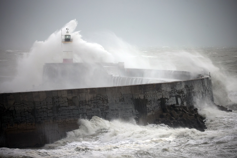
Storm Austen is to hit in the early hours of Friday, as an amber severe weather warning for wind has been brought forward to start at 1am on Friday morning.
A broader yellow weather warning which covers parts of Wales, Herefordshire in the West Midlands, and the South West and South East, has been expanded to cover western Wales. The warning has also been extended from midnight on Thursday to 5pm on Friday.
A new yellow warning for wind has also been issued for a large area of England and Wales. This warning runs from 10am to 9pm on Friday and warns of gusts reaching 45-55mph across the area.
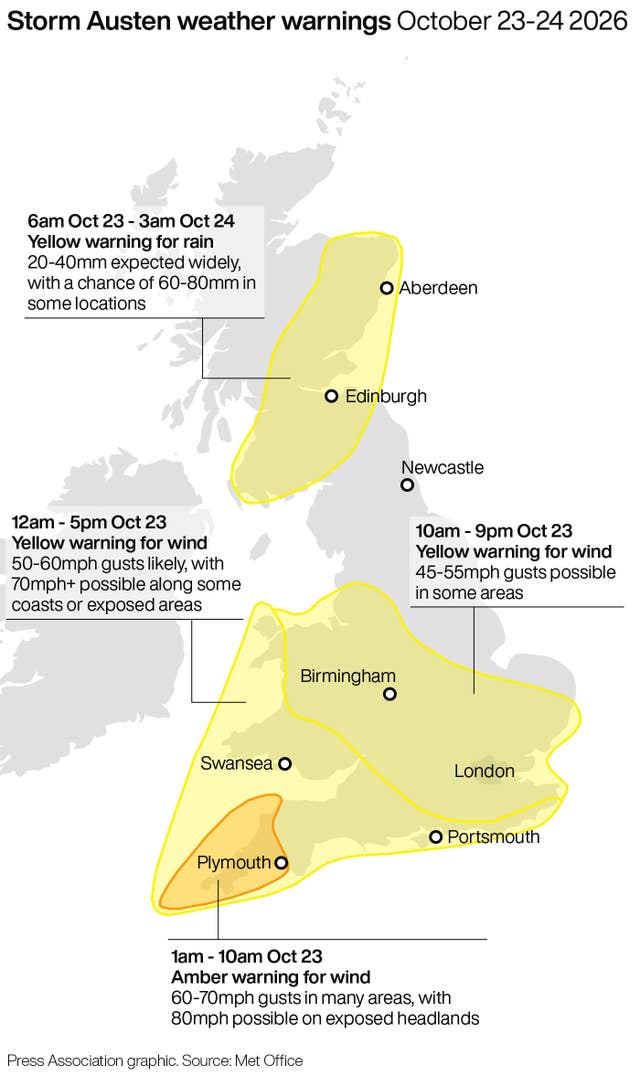
Neil Armstrong, Met Office chief forecaster, said: “We’ve updated Amber and Yellow severe weather warnings for Storm Austen. This is the first stormy weather in the south of the UK this season and we expect some disruption as it moves through. With trees in leaf, it is likely fallen branches and trees could obstruct roads and railways so take extra care on the Friday morning commute.”
Met Office 5-day forecast:
Tonight:
Rain clearing the far north of Scotland, with clear spells developing inland. Heavy rain continues to move northwards across much of England and Wales as Storm Austen arrives.
Friday:
Rain will continue to move northwards on Friday as Storm Austen gradually clears. Winds will become strong and gusty, with gales and severe gales in places across the south.
Outlook for Saturday to Monday:
Strong winds and heavy rain Saturday before a brief settled interlude brings sunny spells and isolated light showers on Sunday. Further wind and rain arrives Monday.
Read MoreMet Office issues ‘danger to life’ warning as Storm Austen approaches
Storms Austen and Boelo set to batter parts of UK with wind and rain
Russia sending fishing trawlers to spy on Britain’s undersea cables
Experts give advice on what you need to buy to prepare for winter weather
UK government services hit by worldwide cyber security threat
HMRC boss fired after tracking employee on Greggs break wins unfair dismissal case