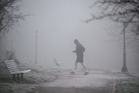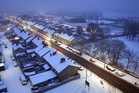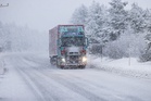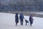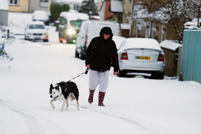
A Met Office snow warning covering a broad sweep of Britain from Staffordshire in the West Midlands up to south-west Scotland is in force until 11am on Tuesday.
The yellow alert for snow came into force for parts of the UK as forecasters warned of potential disruption during the morning rush hour.
The forecasting body said some roads and railways are likely to be affected, and there is a “small chance” of power outages and an impact on mobile phone service.
Much of Yorkshire falls within the warning area, as do Derbyshire, Northumberland, Greater Manchester, Cumbria and Lancashire.
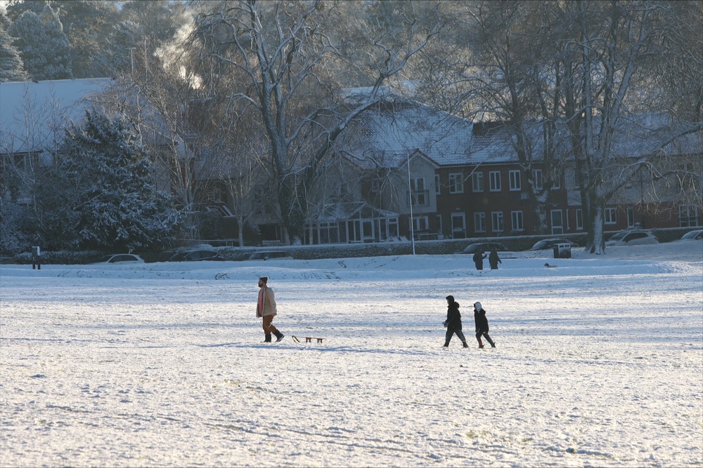
Locations at 100-metre altitude or higher will see the greatest impact.
Any snow falling below this level is likely to be temporary and quickly melting.
Where snow does accumulate, depths of 1-5cm are likely. Some locations above 300-400 metres could see 5-15 cm.
Met Office meteorologist Alex Burkill said: “We have a weather system out towards the west/south west of us that’s going to feed north-eastwards and, importantly, it’s going to hit against the cold air that’s across us and as a result we’re going to see some snow.
“The rain’s already quite heavy and persistent across some parts of the far South West, and all that wet weather then is going to feed north-eastwards.
“There will be some blustery, strong, gusty winds mixed in with it and as I mentioned some significant snow across parts of north Wales perhaps, but also northern parts of England and southern Scotland.
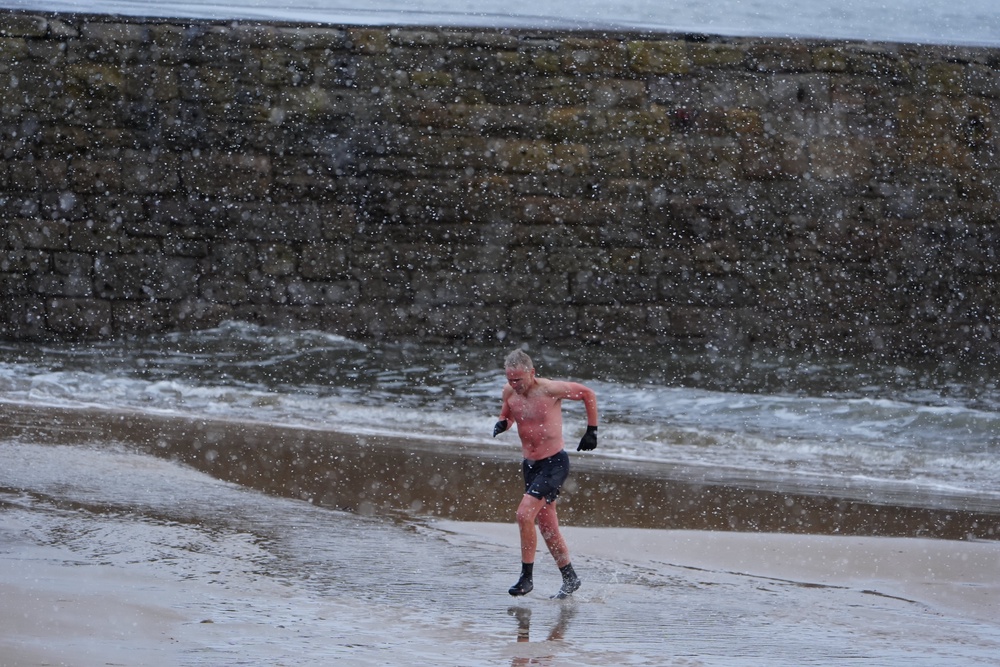
“We could see maybe five to 15 centimetres of snow building up above three to four hundred metres and even to slightly lower levels, a bit of lying snow is possible, which is why there is a warning out because there’s likely to be some disruption, particularly during the morning rush hour on Tuesday.”
He also said there could be thunder and hail mixed in with rain, as well as brighter breaks between showers.
The warning follows the coldest night of the season so far in the UK on Sunday, when a low of minus 7.7C was recorded at Tulloch Bridge in the Scottish Highlands.
The UK Health Security Agency (UKHSA) has issued a yellow cold health alert for the North West, North East and Yorkshire and the Humber, in place until 9am on Thursday.
The agency said these alerts mean weather conditions could result in an increased use of healthcare services and a greater risk to life for vulnerable people.
Read MoreWeather mapped: Where 15cm of snow could fall on UK today under yellow warning
Experts explain what unprecedented polar vortex breakdown means for UK weather
US embassy issues warning to Americans in the UK: ‘Keep a low profile’
Imperial Brands to cut up 2,500 jobs by 2030 in savings drive
Experts explain what not to buy for your emergency stockpile
Senior Royal Family member ‘asked Heathrow Airport worker to boil an egg in a kettle’