A warm spell of weather is set to hit the UK later this week, with temperatures due to rise to 21 degrees on Thursday.
Daytime temperatures will be above average for mid-October for many parts of the country, with Tuesday’s weather set to be “unusually mild”, the Met Office has said.
On Wednesday, the mercury will hit 19 degrees in London, with temperatures of 17 degrees also seen in Glasgow and Belfast, with overnight temperatures across England and Wales remaining at 16 degrees.
Before a band of rain arrives in the south-east of England, temperatures are likely to exceed 20 degrees in many locations on Thursday, exceeding the October average of 12-16 degrees.
A Met Office spokesperson said: “The weather is turning milder this week, with temperatures expected to rise above average for mid-October in some parts of the UK, particularly on Tuesday.
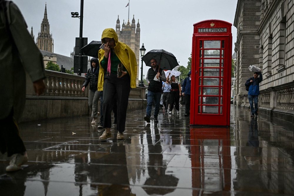
“These warmer conditions are being driven by a south to south-westerly airflow, bringing relatively warm air northwards from lower latitudes. Tuesday's milder weather is the result of the broader weather pattern across the North Atlantic and north-west Europe, rather than any hurricane activity.
“There is no indication that Hurricane Simon, which is currently affecting parts of the US, will have any impact on UK weather.”
Meanwhile, a government-chaired taskforce will meet this week to assess how prepared the UK is for flooding this winter.
The group aims to strengthen the UK’s resilience to flooding and drought after record temperatures and widespread drought hit the country this summer and ahead of an expected wet winter.
How is the week ahead shaping up?
— Met Office (@metoffice) October 11, 2026
Here are all the weather details you need 👇️ pic.twitter.com/u4CX1789SN
It comes as the Met Office has warned of a “heightened potential” for wet, windy, stormy weather and flooding this autumn – and the Environment Agency has urged households to check their flood risk, sign up to alerts and make a flood plan to prepare for any emergencies.
Here’s a look at the five-day weather forecast:
Today:
Turning increasingly cloudy through the day with outbreaks of drizzle. Some brighter spells possible to the east of high ground. Winds strengthening through the day with gales possible in the north of Scotland. Milder than of late.
Tonight:
Gales possible in north Scotland this evening. Staying cloudy with drizzly outbreaks across the south and east. A spell of heavy rain moves into the north and west. Mild.
Tuesday:
Heavy rain moves across England and Wales during the morning with blustery winds, but turning drier and brighter in the afternoon. Heavy showers move into the north later.
Outlook for Wednesday to Friday:
A band of heavy rain slowly moves south over the next few days, and rather windy in the north. Gradually turning colder and brighter from Friday with lighter winds. Mild.
Read MoreMet Office says snow possible as temperatures drop ahead of ‘unsettled’ weekend
Coldest night since May for parts of UK as temperatures drop below 0C
Mapped: UK set for coldest night of autumn so far as Arctic wind brings first frost
Autumn finally arrives as colder temperatures to sweep UK this week
Experts give update on whether polar vortex could hit the UK this autumn
Where temperatures could hit 23C this weekend before cold chill
-copy.jpeg?width=1200&auto=webp&trim=0%2C0%2C0%2C0)