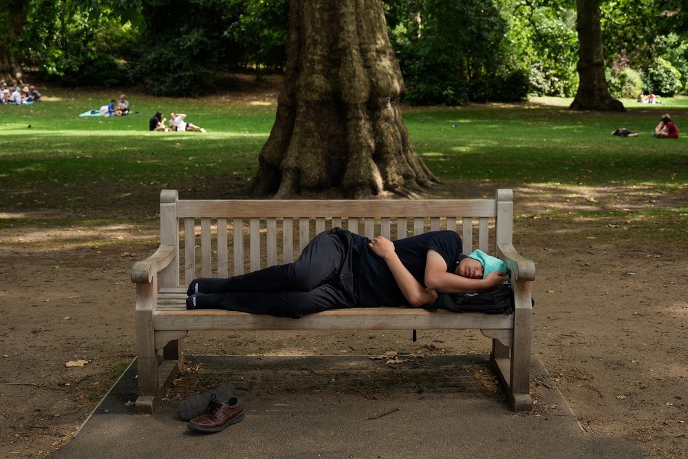
Temperatures have returned to normal following the record-shattering heatwave that scorched the country last week.
Most of the UK is forecast to enjoy typical summer weather this week, with some areas expecting showers, the Met Office said.
Later in the week, temperatures could climb again, as highs of 27C are forecast in parts of the country – leaving Britain on the brink of another heatwave.
Met Office forecaster Honor Criswick said: “The new week brings in some fresher air, it’s not going to be feeling as hot or humid, but there is still some sunshine in the forecast.”
The cooler weather will be a relief to many Britons after three consecutive days of record temperatures, which peaked at 37.3C in Santon Downham, Suffolk, on Friday.
How hot will it get this week?
South-east England will see the warmest weather during the first half of the week, with highs of 25C forecast in the capital and temperatures not due to dip below 16C overnight.
Ms Criswick said: “For most, we are going to see some showers pushing in to the North West at times, but across Scotland any showers will become well scattered by Monday afternoon.
“By the afternoon, there will be plenty of sunny spells and much lighter winds, with highs reaching around 23 to 24C.”
The Met Office has forecast heavy rainfall in the North West on Tuesday, which could reach the North East of England by the afternoon.
Temperatures will be in the high teens and low twenties for most of the country, but could climb to 27C in London from Thursday, which is almost at heatwave levels.
Could there be another heatwave?
The UK has already endured two heatwaves this year and smashed the record for the hottest spring ever in England and Wales.
A heatwave occurs when a location records a period of at least three consecutive days with daily maximum temperatures meeting the heatwave temperature threshold.
The temperature threshold is 27C for much of south-east England, and 28C in London and its surrounding areas.
The threshold may not quite be reached by the end of this week, but forecasts suggest the next heatwave could still arrive within a fortnight.
According to forecasting platform WXCharts, a third heatwave could return on 7 July, when temperatures are set to hit 32C in south-east England, though longer-term forecasts can be less reliable.
Highs of 36C could then come to the capital on 8 July, and 35C the following day. WXCharts estimates that temperatures will reach the high twenties in the days that follow.
In its three-month summer outlook, the Met Office said temperatures during the period of 11 to 25 July are “likely to be above normal on the whole, with a greater than normal chance of hot conditions developing at times”.
Met Office five-day forecast
Monday
Largely dry across the UK today with prolonged sunny spells at first. Cloud will increase a little into the afternoon, particularly in the west. Scattered showers will also move into Northern Ireland and western Scotland. Warm in the sunshine.
Monday night
A heavy spell of rain will move into the northwest with brisk winds. Drier elsewhere with clear spells and a fresh night for many.
Tuesday
Cloudy in the North and West with showery outbreaks of rain. Rain will be heavy at times with a risk of thunder in the North. Drier in the South East.
Outlook for Wednesday to Friday
Turning increasingly warm in the South East through the outlook with dry and bright weather. Cloudier in the north and west with spells of rain at times and temperatures around average.
Read MoreOver 1,300 deaths linked to Europe heatwave, WHO says
Will there be more heatwaves this summer?
Education system not set up to serve white working-class children, report finds
Inside the ex-mining town that backed Brexit despite millions of pounds of EU funding
Yacht club captain accused of harassing commodore in £320,000 houseboat row
HS2’s failures under spotlight as £153 million to be spent on reset process