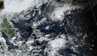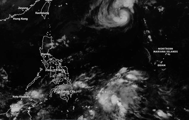
MANILA, Philippines — Severe Tropical Storm Cempaka has intensified into a typhoon, the Philippine Atmospheric, Geophysical and Astronomical Services Administration (Pagasa) said Sunday.
It said that as of 2 p.m. Sunday, November 8, 2026, “Cempaka” intensified into a typhoon and was still outside the Philippine Area of Responsibility (PAR).
The typhoon's center was about 1,600 kilometers east of extreme northern Luzon. It was moving west-northwest at 20 kilometers per hour (km/h), with maximum sustained winds of 120 km/h near the center and gusts up to 150 km/h.
Pagasa said the typhoon will enter PAR Monday morning and will be called "Samuel."
Weather specialist Grace Castañeda-Carpio said that the typhoon will exit PAR between Monday and Tuesday.
Castañeda-Carpio said that light to moderate rains were possible in Cagayan, Isabela, Aurora, as well as several parts of the Cordillera Administrative Region and other parts of Cagayan Valley due to the northeast monsoon or amihan.
The easterlies could bring scattered rains in Quezon and Bicol on Monday, she said.
The rest of Luzon, including Metro Manila, will be cloudy.
Castañeda-Carpio said the chance of scattered rain showers and thunderstorms in Eastern Visayas, Caraga, and the Davao Region is high.