THE Department of Agriculture (DA) and the Philippine Space Agency (PhilSA) have formalized a five-year collaboration to use satellite-based tools to strengthen agriculture, fisheries, disaster response, and climate-resilient planning, the DA said on Tuesday.
Under the framework, formalized through a memorandum of understanding, the DA and PhilSA will explore using Earth observation, geospatial information and space-based technology for monitoring crop conditions.
The technology would also be used to help map floods and droughts, assess irrigation resources, forecast yields and identify areas vulnerable to agricultural damage.
PhilSA will provide satellite data and technical expertise, including the acquisition, processing and analysis of Earth observation information.
Meanwhile, the DA will gather field data, validate satellite-based assessments and integrate remote sensing, geographic information systems and climate and hazard monitoring into agricultural programs.
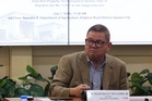
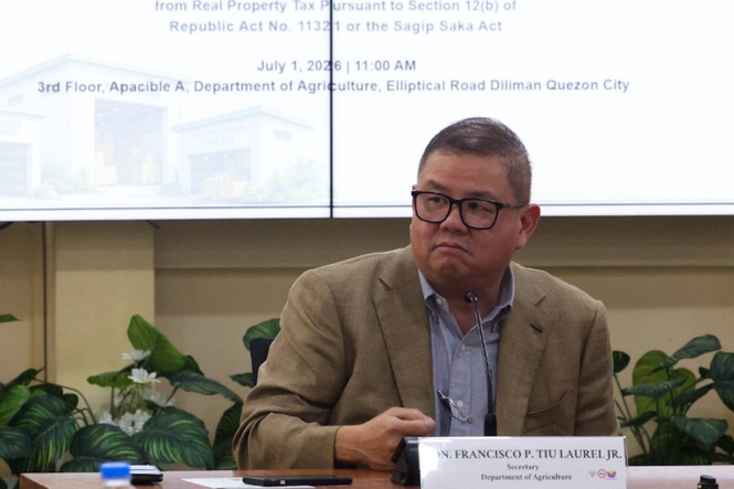
“From space, a satellite can see a flood. From the ground, a farmer sees a lost harvest. Our job is to connect those two views,” Agriculture Secretary Francisco Tiu-Laurel Jr. said.
He added that the use of satellite-based tools could also help track pest infestation and crop diseases, assess soil conditions, monitor fisheries and identify potentially productive fishing and aquaculture areas.
By mapping where water naturally flows and accumulates, the government could identify areas where excess water might be captured and stored for use during the dry season, potentially linking flood management more closely with irrigation planning.
“Some of the water we now see as a hazard could become an agricultural resource,” Tiu-Laurel Jr. said.
The two agencies will also share and validate maps and datasets covering crop production, irrigation, droughts, floods and disaster impacts.
The framework does not involve any transfer of funds, with each agency covering its own incidental expenses unless separate implementing agreements provide otherwise.
The DA also plans to mobilize field validators nationwide to verify satellite-generated information on the ground, helping enhance the accuracy and reliability of satellite-based assessments.
“No matter how advanced our satellites become, we still need someone on the ground to confirm that what we see is, indeed, a farm,” Tiu - Laurel Jr. said.