The National Geospatial Knowledge-Based Land Survey of Urban Habitation (NAKSHA) programme, recently launched in Solan city, has run into resistance from a section of residents who have expressed concerns over sharing their Aadhaar details and mobile phone numbers for the digital linking of properties with municipal records.
Opposition has surfaced particularly in the Basal Patti area, where residents reportedly stopped a survey team from carrying out property measurements, affecting the time-bound implementation of the project. Similar concerns have also been reported from other parts of the city.
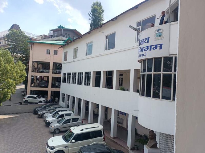
In an effort to address public apprehensions, Solan Municipal Corporation Commissioner Ekta Kapta on Friday clarified that the programme is aimed at scientifically mapping land and buildings to create accurate urban land records. She assured residents that the survey teams have been issued official identity cards and would produce them before entering private properties for survey-related work.
Kapta appealed to residents to cooperate with the survey teams and provide their Aadhaar details when requested so that property records can be updated and linked with digital databases. She said the initiative would enable the creation of accurate three-dimensional records of urban properties and strengthen municipal land management systems.
The NAKSHA programme has been launched on a pilot basis in four urban local bodies of Himachal Pradesh, with Solan being one of them. Around 40 officials from the Department of Land Records, designated as the nodal agency for the project, are conducting the survey with assistance from Municipal Corporation staff.
The initiative is expected to bring greater transparency, accessibility and accuracy to urban land records. Officials say it will help reduce property disputes, prevent ownership-related litigation and facilitate smoother property transactions. Improved land records are also expected to enhance access to institutional credit for property owners.
Authorities maintain that the absence of updated urban land records in many states has often led to ownership disputes and hindered planned urban growth. Solan, which has been classified as a Category D urban area due to its population of less than 50,000, is expected to benefit significantly from the programme.
Once completed, the survey will provide a uniform basis for property tax assessment, strengthening the fiscal health of the MC.