The India Meteorological Department’s (IMD) upgraded orange alert for thunderstorms, lightning and squally winds over Chandigarh and Haryana on Monday failed to translate into any significant weather activity across Chandigarh, Mohali and Panchkula till the filing of this report, as the Tricity remained largely dry under partly cloudy skies despite forecasts of severe localised weather.
The weather office had enhanced Monday’s earlier yellow alert to an orange alert, warning of thunderstorms accompanied by lightning and squalls of 60-70 kmph, gusting up to 80 kmph, at isolated places. However, unlike the dramatic weather witnessed last week under successive red, orange and yellow alerts, no notable impact was reported in the Tricity through the day.
The subdued weather response marks a continuation of the pattern seen over the past several days. Last week’s roaring red-alert thunderstorm, which brought widespread disruption, was followed by an underwhelming orange alert on Friday and a largely uneventful yellow-alert spell over the weekend. While alerts have continued to feature prominently in forecasts, actual weather activity has remained confined to isolated pockets.
According to IMD’s latest evening bulletin, weather remained dry across Punjab during the past 24 hours, while only isolated places in Haryana reported light rain. Temperatures have meanwhile stabilised after the sharp cooling witnessed during last week’s wet spell.
Punjab’s average maximum temperature registered a marginal fall of 0.4 degree Celsius and remained near normal. Haryana recorded a slight decline of 0.8 degree Celsius, with temperatures also hovering around seasonal averages. The highest temperature in Punjab was 39.4 degrees Celsius at Faridkot, while Haryana’s highest temperature was 39.2 degrees Celsius in Faridabad.
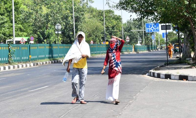
For Chandigarh, Mohali and Panchkula, the forecast suggests that daytime temperatures are likely to remain largely steady around 39 degrees Celsius through Thursday before easing by one to two degrees towards the weekend. IMD’s forecast places maximum temperatures at 39 degrees Celsius from Tuesday through Thursday, followed by 37 degrees Celsius on Friday and 36 degrees Celsius on Saturday.
The more noticeable change will be felt during the nights. Minimum temperatures are projected to rise steadily throughout the week, increasing from around 24 degrees Celsius on Tuesday to 27 degrees Celsius by Thursday before settling near 26 degrees Celsius during the weekend. The gradual warming trend follows the unusually cool nights experienced after last week’s rainfall and thunderstorm activity.
The warning map also points to a fluctuating alert pattern through the remainder of the week. A yellow alert remains in force for Tuesday, while no weather warning has been issued for Wednesday. Yellow alerts are scheduled to return from Thursday through Saturday, signalling the possibility of thunderstorms, lightning and gusty winds at isolated locations. No warning has been issued for Sunday.
Despite the absence of widespread weather systems, IMD expects scattered rainfall and isolated thunderstorm activity to continue across Chandigarh, Mohali, Panchkula, Punjab and Haryana through much of the week. Partly cloudy skies are expected to dominate, with brief spells of rain likely in scattered areas rather than region-wide events.
An IMD meteorologist said the current weather pattern reflects a transition from the active storm phase experienced last week to a more typical pre-monsoon regime characterised by localised instability.
“The strong thunderstorm systems that affected the region last week have weakened considerably. However, moisture and atmospheric instability remain sufficient to trigger isolated thunderstorms and showers during the coming days. While daytime temperatures are expected to remain largely stable, increasing humidity and cloud cover will contribute to warmer nights. The forecast also suggests a slight reduction in daytime temperatures towards the weekend, which should keep weather conditions relatively comfortable compared to the intense heat experienced earlier this month,” the meteorologist said.
The overall outlook points towards a mixed week for the region — warmer nights, steady daytime temperatures and periodic chances of isolated rain — before a potentially more pleasant weekend arrives with slightly lower temperatures and continuing opportunities for scattered showers.