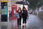
Thunderstorms and heavy rain will move across the UK as wet and unsettled conditions put an end to a hot and dry summer.
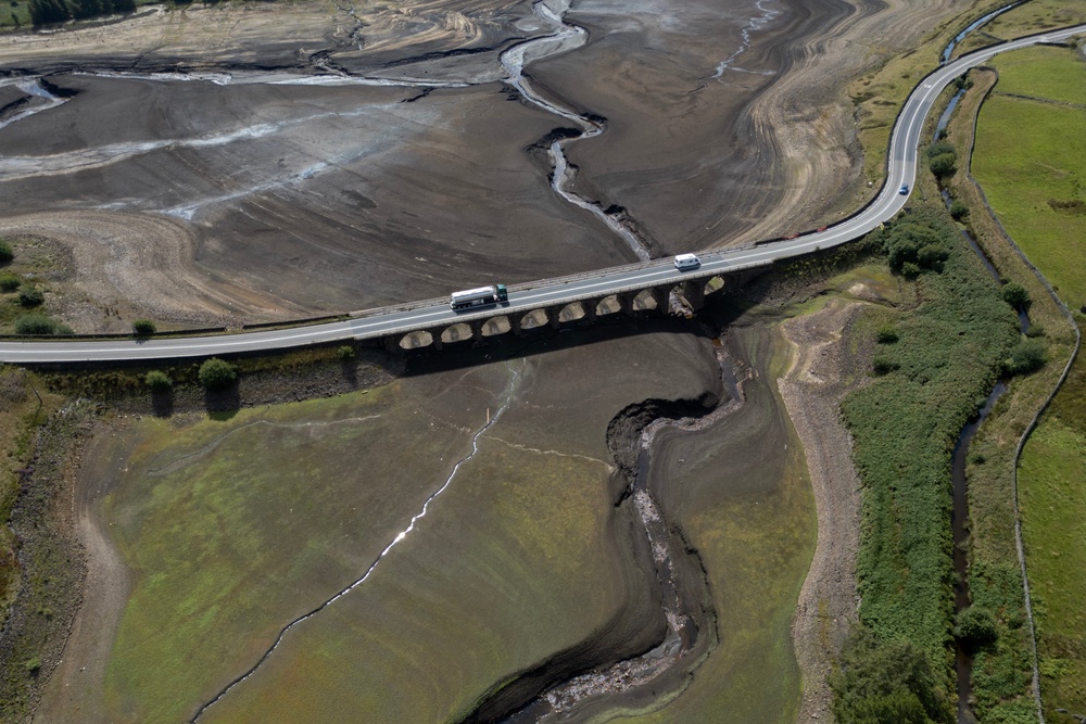
Five back-to-back heatwaves over the past few months has left 70 per cent of England and Wales in a drought. Although some parts of the UK have seen cooler weather and showers, a lot more rain is needed before these conditions start to ease.
However, a thunderstorm warning is in place across England and Wales on Wednesday and Thursday as low pressure moves in. Despite the wet weather, temperatures are set to be on the rise as warmer air moves in, pushing temperatures to 26C.
Where are the thunderstorms?
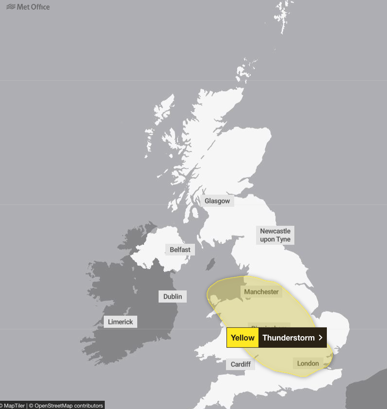
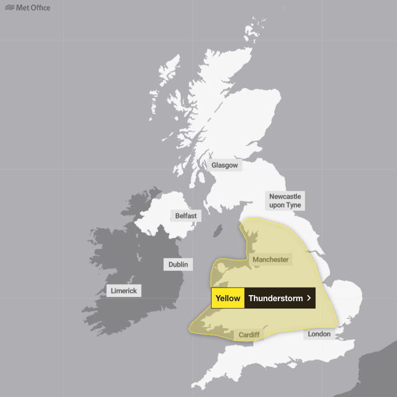
Yellow thunderstorm warnings are in place on Wednesday and Thursday across the West and East Midlands, as well as the North West, South East, South West and east of England, and parts of Wales. The Met Office has warned that lightning and hail could be widespread as the storms move northwards across both days.
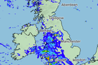
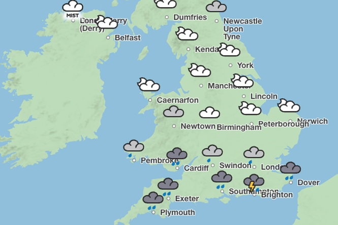
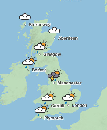
Showers are expected to sweep across the south of England on Wednesday. By Thursday, heavy downpours are predicted in the West Midlands before moving up towards Manchester and Leeds. Heavy rain is also forecast on Thursday night in eastern England.
Met Office chief forecaster Steve Willington said: “As we move into Wednesday there is a growing risk of heavy rain and thunderstorms, with warm and humid air helping to trigger heavy showers and thunderstorms. Some places could see significant amounts of rain falling in a short period of time, bringing the potential for localised flooding, travel disruption and frequent lightning.
“On Thursday, slow-moving heavy and thundery rain may bring prolonged rainfall to some areas, increasing the risk of localised impacts. There remains some uncertainty around where the heaviest rain will fall, so it is important to keep up to date with the latest forecast and warnings."
The Met Office said that 20 to 30mm of rainfall is expected to accumulate in three hours across the affected areas and up to 50mm in 12 hours can be expected in places.
There is a small chance that some places may see more than 50mm in three hours and more than 75mm over 12 hours, especially over east-facing high ground. Lightning and hail of 1-2cm will also be hazardous, the forecaster warned.
Homes and businesses could be flooded quickly, the forecaster said, with damage to some buildings from floodwater, lightning strikes or hail. Flooding and lightning could cause delays and cancellations to train and bus services.
The risk of spray and sudden flooding could also lead to road closures and difficult driving conditions, with a chance of power cuts for some parts of the country.
However, thunderstorms could hit Manchester and Newcastle later in the week on Sunday afternoon.
Will there be another heatwave?
Although warm and hot spells are still possible, they will likely be short-lived, with temperatures sitting near average.
Temperatures are set to reach 26C in London on Thursday and sit in the mid- to low-twenties for most of the UK over the week.
But towards the end of September, the Met Office suggests there could be hot spells in the South of England.
2026 is the first year on record to see three separate days where temperatures reached the 37C threshold, as well as the first year with four days at 36C or above.
Before 2026, the UK had recorded 37C or higher on only six occasions.
It also extends 2026’s record-breaking run of days above 35C.
For four months in a row, temperatures hit 35C in the UK on at least one day in May, June, July and now August.
July was also the driest month since records began in 1836 in both England and Wales, and southern England alone had its driest calendar month ever on record.
By 15 July this year, the UK had already recorded more days above 30C than in the whole of 1976, which was known for its long-lasting heatwave.
What is the long-range forecast?
By the Bank Holiday weekend, showers and longer spells of rain are expected to hit many parts of the UK, along with some strong winds, the Met Office said.
It added that thunderstorms and heavy bursts of rain are also forecast.
The weather is set to remain changeable through the first week of September, with above-average rainfall amounts for the time of year.
But some drier and more settled interludes and short-lived warm or hot spells are possible in the South of England.
Towards the end of September, drier weather could become more prevalent, especially in the South and the South East. In the North East more unsettled weather is forecast.
The Met Office said temperatures will probably be near normal at first but may become warmer later, with the possibility of some hot spells in the South.
Read More40,000 climate-related deaths recorded in England over 38 years
Government to tell Britons to stock up on tinned food to prepare for extreme weather
Large parts of UK under thunderstorm and flood warnings today – full list of regions
Wildlife Photographer of Year first look: Peeping polar bear to bullfrog’s near miss
Patient deaths at under-fire NHS trust ‘could be next major health scandal’
PM says Britain will not stop supporting Ukraine, amid CIA chief’s Russia visit