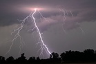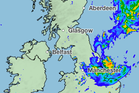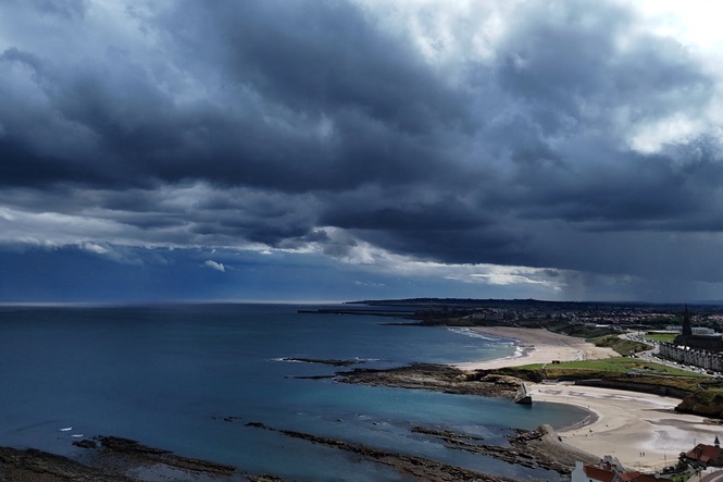
Thunderstorm warnings have been issued across parts of the country as the Met Office warns of flooding and disruption.
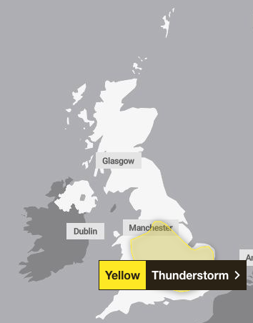
Yellow warnings for storms will be in place across the West and East Midlands, as well as the North West, South East, South West and east of England, and parts of Wales.
The alerts will be in force in England and Wales from 3am until 10pm on Wednesday, and 6am until 10pm on Thursday.
The Met Office warned there is a “small risk of flooding and disruption from thunderstorms“ after a summer of record-breaking dry conditions.
A band of heavy showers and thunderstorms is expected to move northwards on Wednesday morning, the forecaster warned, adding an intense downpour of 20 to 30mm of rain could fall in less than an hour.
Some spots could see 40 to 50mm in two to three hours, leading to some surface water flooding, with the possibility of large hail and frequent lightning.
These showers and thunderstorms are expected to drift northwards and ease during the evening.
On Thursday, another band of thunderstorms and heavy rain is expected to move slowly across England and Wales. The Met Office said that 20-30 mm of rainfall is expected to accumulate in three hours across the affected areas and up to 50 mm in a 12 hour period can be expected in places.
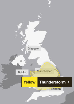
There is a small chance that some places may see more than 50 mm in three hours and more than 75 mm through 12 hours, especially over east facing high ground. Lightning and hail of 1-2 cm will also be hazardous, the forecaster warned.
Homes and businesses could be flooded quickly, the forecaster said, with damage to some buildings from floodwater, lightning strikes or hail. Flooding and lightning could cause delays and cancellations to train and bus services.
The risk of spray and sudden flooding could also lead to road closures and difficult driving conditions, the forecaster added, with a chance of power cuts for some parts of the country.
Met Office deputy chief forecaster, Mark Sidaway, attributed the unsettled weather to warmer and more humid air moving north across the UK.
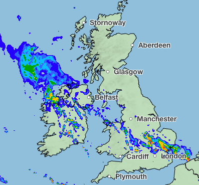
"While many areas will see dry and increasingly warm conditions at the start of the week, attention is turning to the potential for heavy rain and thunderstorms from Wednesday onwards,” he said.
"As warmer and more humid air moves north across the UK, there is an increasing likelihood of some heavy rain developing. Some places could see 20 to 30mm of rain in just a few hours, while there is also the potential for higher totals where thunderstorms repeatedly affect the same locations.
"The detail of which areas will see the heaviest rainfall is still uncertain, so stay up to date with the forecast this week to keep updated on the increasing risk of impactful weather during the latter part of the week."
By Thursday, a band of heavy and thundery rain is expected to move northwards through England and Wales slowly, which could lead to substantial rainfall totals.
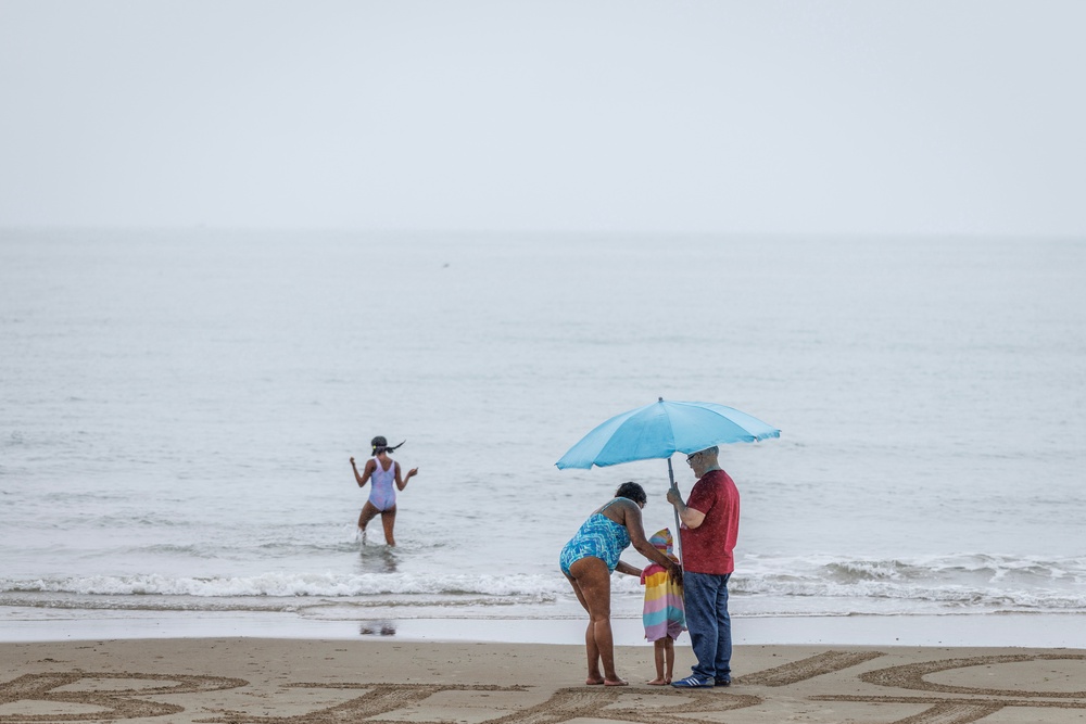
The incoming downpour comes as England and Wales are expected to record one of the driest summers on record. Almost three-quarters of England is designated as under drought, as is the entirety of Wales.
Scientists previously warned that a heavy downpour could cause more harm than good following the dry and hot summer, as it could lead to flash flooding in parts of the country.
The Environment Agency flood forecast for the next five days suggests that local flooding from surface water is “possible more widely on Wednesday”, which could bring deluge to land, roads and some properties.
Queueing dispute rumbles on top of Snowdon as officials have ‘no plans to intervene’
Britain’s rarest bird successfully rears six chicks in secret location
Most secondary schools in England still offer too many unhealthy food options
Huge Cornwall estate goes on sale for £12.5 million
Experts respond to claims that smear tests use ‘cancer-causing’ chemicals
Mapped: The UK regions set for housing fund boost as Burnham unveils £10 billion plan