MANILA, Philippines — The southwest monsoon will bring more rains in the next three days as Tropical Storm "Pilandok" nears its exit from the Philippine Area of Responsibility (PAR).
"When it comes to rains, the effect of the habagat or southwest monsoon will continue in a big part of Luzon and western Visayas in the next three days up to Saturday," Pagasa Weather Specialist Benison Estareja said in Filipino and English in the 11 a.m. briefing on Wednesday.
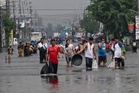
"Expect from today until tomorrow noon, this is the time wherein Pilandok is about to exit and will still enhance the southwest monsoon or will still pull the southwest monsoon over the Ilocos Region as well as Abra, Benguet, and Zambales, 50 to 100 millimeters of rainfall is possible in a 24-hour period" and this might "cause flooding in low-lying areas and landslide in mountainous areas," he said.
As to the rest of North and Central Luzon, Estareja said, "Expect also cloudy skies and there is a chance of rains especially later in the afternoon up to the evening. These are more on light to moderate rains because of the southwest monsoon."
As to Thursday noon up to Friday noon, he said that "up to 100 millimeters of rainfall was...possible in a 24-hour period in Zambales, Bataan, also in Cavite, Batangas, and Occidental Mindoro."
"Meanwhile, expect scattered rains and thunderstorms in Metro Manila," he added. This was the same forecast for the Ilocos Region, Abra, Benguet, Aklan, Antique, the rest of central Luzon, Calabarzon, and Mimaropa.
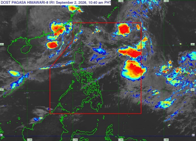
Estareja said "Pilandok" was last seen 1,135 kilometers east of extreme north Luzon.
It was moving northwestward over the Philippine Sea with maximum sustained winds of 65 kilometers per hour (kph) near the center and gustiness reaching 80 kph, Pagasa said in its 11 a.m. Tropical Cyclone Bulletin. "Strong gale-force winds extends outwards up to 580 km from the center," it said.
"Pilandok is forecast to remain as a tropical storm as it moves northwestward throughout the forecast period and will remain far from the Philippine landmass. This tropical cyclone is forecast to exit the Philippine Area of Responsibility (PAR) tonight or tomorrow (Sept. 3) early morning," Pagasa said.