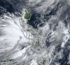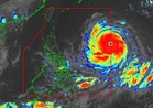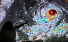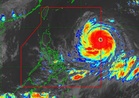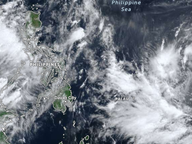
MANILA, Philippines — The state-run weather agency revealed on Sunday that it was closely monitoring the movement of a new low pressure area (LPA) which was spotted still outside the Philippine Area of Responsibility (PAR).
Weather specialist Robert Badrina of the Philippine Atmospheric, Geophysical and Astronomical Services Administration (Pagasa) said the LPA was estimated to be 1, 205 kilometers east of Eastern Visayas.
“At present, the LPA has still a slim chance to intensify into a tropical depression and has no direct effect yet in the country but we are closely monitoring its direction,” Badrina said in a 5 a.m. briefing.
Meanwhile, the impact of the typhoon-enhanced southwest monsoon locally known as ‘habagat’ was expected to lessen in the coming days as Typhoon ‘Inday’ now renamed ‘Bavi’ and was already outside PAR has been forecast to dissipate.
But the weather system (habagat) continues to affect Zambales, Bataan, and Occidental Mindoro where occasional rains would occur, the national weather bureau said.
It has also been bringing overcast skies with scattered rains and thunderstorms over Metro Manila, the rest of Luzon, and Visayas, the weather agency’s latest advisory showed.
On one hand, Mindanao would be experiencing partly cloudy to cloudy skies with isolated rain showers or thunderstorms owing to the effect of the localized thunderstorms within the next 24 hours, it added.