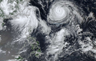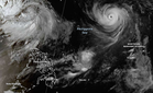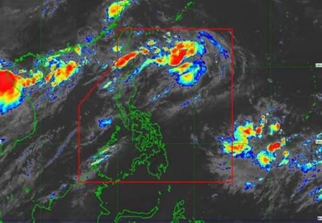
MANILA, Philippines — The Philippine Atmospheric, Geophysical and Astronomical Services Administration (Pagasa) forecasted that Typhoon Obet would exit the Philippine Area of Responsibilty (PAR) within 12 hours.
Typhoon Saudel was given the name "Obet" because it entered the PAR on Monday at 1:20 p.m.
"So we see that likely, as it traverses north of our PAR's northern boundary, it will enhance the southwest monsoon," Weather Specialist Grace Castañeda-Carpio said in Filipino and English in Pagasa's 5 p.m. briefing.
In a Tropical Cyclone Bulletin issued at 5 p.m. and valid for broadcast until 11 p.m. of Monday, Pagasa said that the center of the typhoon's eye was about 1,430 kilometers east northeast of extreme northern Luzon as of 4 p.m.
The typhoon was moving west northwestward at 30 kilometers per hour (km/h) with maximum sustained winds of 165 km/h near the center and gustiness reaching 205 km/h, it said.
"Strong to typhoon-force winds extend outwards up to 540 km from the center," Pagasa said.
"Obet will continue moving generally west northwestward for the next 2 days before moving generally westward for the remaining forecast period. Based on the forecast track, Obet will remain far from the Philippine landmass and will exit PAR within 12 hours," it said.
"Obet may slightly intensify but will remain a typhoon inside PAR. Afterwards, Obet will steadily weaken while moving over the southern islands of Japan up to the sea north of Taiwan. After Obet makes landfall over the southeastern portion of mainland China, it will weaken into a Severe Tropical Storm by Friday (28 August) and further weaken into a Tropical Storm by Sunday (29 August)," it said.
In its 24-hour sea condition outlook, Pagasa advised those using small vessels "to take precautionary measures while venturing out to sea and, if possible, avoid navigation under these conditions," as it forecasted up to rough seas over these coastal waters:
- Up to 3.5 meters: The seaboard of Batanes and the northern seaboard of Babuyan Islands
- Up to 3 meters: The western seaboards of Babuyan Islands; Ilocos Norte's northern seaboard; and the western seaboard of Kalayaan Islands
Pagasa gave the same advice as it forecasted up to moderate seas over these coastal waters:
- Up to 2.5 meters: "The seaboards of Ilocos Sur, mainland Cagayan, Isabela, and Zambales; the western seaboards of Pangasinan, Bataan, and Lubang Islands; the eastern seaboard of Davao Oriental; the remaining seaboards of Babuyan Islands, Ilocos Norte, and Kalayaan Islands"
- Up to 2 meters: "The seaboards of La Union, Aurora, Surigao del Norte, Davao del Sur, and Davao Occidental; the western seaboards of Cavite, Batangas, Occidental Mindoro, and mainland Palawan including Calamian Islands; the northern and eastern seaboard of Polillo Islands, Catanduanes, and Northern Samar; the northern seaboards of Camarines Norte and Camarines Sur; the eastern seaboards of Albay, Sorsogon, and Eastern Samar; the remaining seaboards of Pangasinan and Lubang Islands"