When Typhoon Champi bore down on Taiwan last week, forecasters across East Asia disagreed sharply on where it would go. Now that it has passed, a popular Taiwanese weather page has compared the predictions, and found that Taiwan's official forecasts were among the most accurate in the region, second only to those from the United States.
The analysis, published on October 27 by the Facebook page Real-Time Weather Forecast (天氣即時預報), summed up its result in a single line: in forecasting Champi, "Taiwan was second in the world." Japan came last.
How The Comparison Was Done
The page said it ran the numbers because many people online were asking which country had called the storm correctly. It compared archived forecasts from six weather agencies, in Taiwan, the United States, Japan, China, Hong Kong and South Korea, against Champi's actual track.
For each agency, it measured how far the predicted position of the storm's center was from where it really went at five forecast ranges: 24, 48, 72, 96 and 120 hours ahead. The average track errors, from most to least accurate, were:
- United States: 91.4 km
- Taiwan: 94.9 km
- China: 95.3 km
- South Korea: 99.4 km
- Hong Kong: 101.1 km
- Japan: 122.5 km
The comparison is an independent analysis by the page rather than an official verification by any of the agencies involved.
Taiwan Led On Short Range Forecasts
The page highlighted two findings. First, Taiwan had the smallest error of all six at the 24 hour range. That is the forecast that matters most when a storm is close to landfall, the page noted, because a shift of a few dozen kilometers can mean a very different outcome for wind and rain on the ground. It added that Taiwan's error would be even lower if the hourly forecasts issued while the land warning was in effect were included.
Second, at the 120 hour range, where uncertainty is greatest, Taiwan again ranked second behind the United States. Japan's five day error reached 221 km, the worst of the group at that range and enough to leave it at the bottom of the overall table. The page ended its post by thanking Taiwan's professional forecasters.
Champi Came Close But Never Made Landfall
Champi formed on October 15 about 4,000 km east of Taiwan and strengthened into a severe typhoon on October 20. At that point, the European model suggested it could make landfall in Taiwan on October 23 or 24, while forecasts from Japan, Hong Kong, China and the US military leaned toward a track that would curve north off Taiwan's east coast. Taiwan's Central Weather Administration (CWA) also favored a more easterly path.
The CWA issued a sea warning at 11:30 p.m. on October 21 and a land warning at 11:30 a.m. on October 22. Local governments gave many people time off, and with the Taiwan Retrocession Day holiday on October 25, much of the country ended up with a four day weekend.
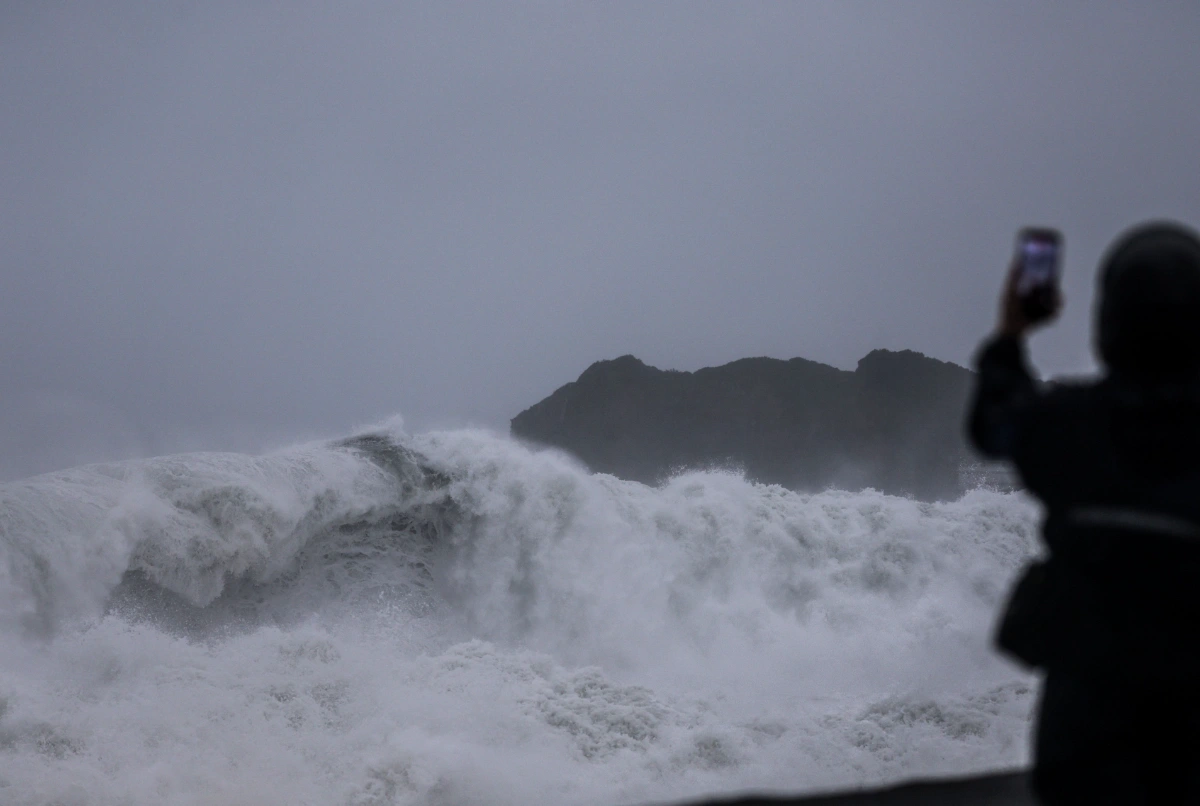
In the end, Champi did not make landfall. Based on radar and surface wind data, the CWA concluded that its center came closest to land at around 1 a.m. on October 24, near Nanfang'ao on the coast of Yilan County in northeastern Taiwan. It briefly skirted the shore before turning east and northeast and heading north. The land warning was lifted at 2:30 p.m. that day and the sea warning at 8:30 p.m.
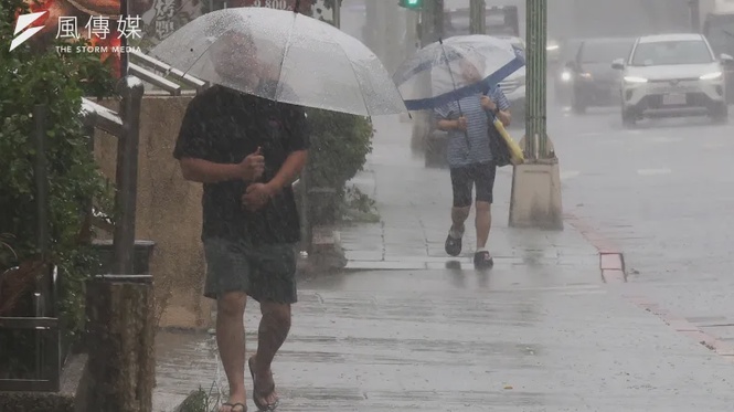
Combined with the northeast monsoon, the storm brought strong wind and heavy rain to northern and northeastern Taiwan, where the mountains facing the wind amplified rainfall. On the sheltered side of the island, Hualien and Taitung recorded unusual nighttime highs as a foehn wind swept down from the mountains.
The Next Storm Is Already Spinning
The comparison comes as another storm develops. Typhoon In-fa, the 30th named storm of the season, strengthened into a severe typhoon at 8 a.m. on October 28 and was moving west at about 20 km per hour.
The CWA expects In-fa to continue west northwest and reach waters south of Japan around November 1 or 2 before gradually turning north. It is still far from Taiwan and is not expected to have a direct impact on the island, though how accurate each country's models prove this time will depend on where and when the storm turns.