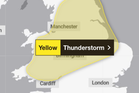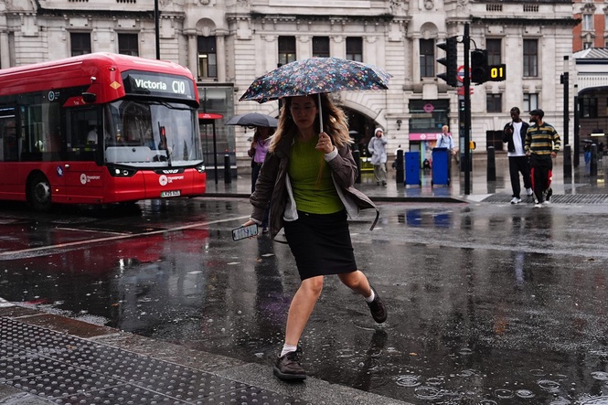
A new yellow warning has been issued by the Met Office for heavy showers and thunderstorms which could cause travel disruption and flooding.
Much of England and Wales is covered by the warning, which will be in force from midday until 9pm on Friday, and means flooding of a few homes and businesses is likely, trains could be delayed and car journeys could take longer, the forecaster said.
The thunderstorm warning covers most of Wales, the West Midlands, Yorkshire and Humber, South West England, North West England, North East England, London, South East England, East of England and the East Midlands.
Twelve areas are covered by Environment Agency flood alerts, meaning floods are possible.
The Met Office says the warning means flooding of a few homes and businesses is likely, leading to some damage to buildings or structures; there could possibly be some damage to a few buildings and structures from lightning strikes; a short-term loss of power and other services is possible; trains could be delayed; and there is a chance driving conditions will be affected by spray, standing water or hail.
There has been continued hot weather across the UK, which coincided with extremely dry conditions.
Read MoreFlood warnings and alerts issued as more heavy rain forecast
Fresh thunderstorm warnings issued for 64 areas amid flooding concerns – full list
Will there be storms this weekend? Bank Holiday forecast after UK doused by rain