MANILA, Philippines — Typhoon Champi, currently outside the Philippine Area of Responsibility (PAR), may bring scattered rains and thunderstorms to eastern Visayas and Mindanao starting Monday, October 19, according to the state weather bureau.
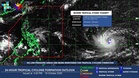
In its 5 p.m. forecast on Saturday, the Philippine Atmospheric, Geophysical and Astronomical Services Administration (Pagasa) weather specialist Daniel James E. Villamil said the typhoon was located 2,360 kilometers east of Eastern Visayas as of 3 p.m.
It had maximum sustained winds of 165 kilometers per hour and gusts of up to 205 kilometers per hour while moving westward at 20 kilometers per hour.
Pagasa said the typhoon may enter PAR on Tuesday, October 20, when it will be given the local name Rosal. Rains and thunderstorms may also affect eastern Luzon and eastern Visayas beginning Tuesday.
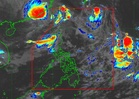
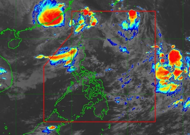
Meanwhile, the Intertropical Convergence Zone (ITCZ) may bring scattered rains and thunderstorms to southern Mindanao and parts of Palawan, while easterlies may bring similar weather to the Bicol Region and Quezon province.
For Sunday, Bicol and Quezon may continue to experience scattered rains and thunderstorms, while southern Palawan may receive rainfall due to the ITCZ.
Metro Manila and most other areas can expect generally fair weather, although isolated thunderstorms may develop in the afternoon or evening.
From Monday to Wednesday, Eastern Visayas, including Tacloban, may experience scattered rains and thunderstorms due to the approaching typhoon. Northern Mindanao and Caraga may also experience rains from Monday to Tuesday.
Pagasa said that no gale warning is in effect, with slight to moderate seas expected along the country's coastal waters. It advised those planning to sail to remain cautious, particularly during offshore thunderstorms that may bring strong winds and higher waves.