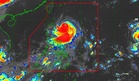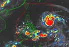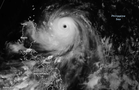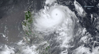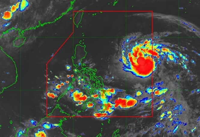
MANILA, Philippines — The state-run weather agency said Tropical Cyclone ‘Francisco’ has been forecast to further develop into a super typhoon by Tuesday.
Nathaniel Servando, Philippine Atmospheric, Geophysical and Astronomical Services Administration (Pagasa) chief, said, however, that the typhoon would remain far from the Philippine landmass.
Estimated at 620 kilometers east of Tuguegarao City, Cagayan, Francisco has maximum sustained winds of 155 kilometers per hour (kph) near the center and gustiness of up to 190kph while moving west-northwestward at 15kph, the national weather bureau said.
Pagasa said Signal No. 1 remains over Batanes and the northeastern portion of Cagayan including the eastern portion of Babuyan Islands.
Francisco would likely exit the Philippine Area of Responsibility by Friday, it added.
While Mindanao, Visayas and Palawan are affected by the southwest monsoon or ‘habagat,’ Metro Manila and the rest of Luzon, on one hand, would be experiencing partly cloudy to overcast skies with isolated downpours or thunderstorms due to the localized thunderstorms, Pagasa’s 5 a.m. bulletin said.