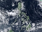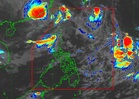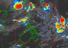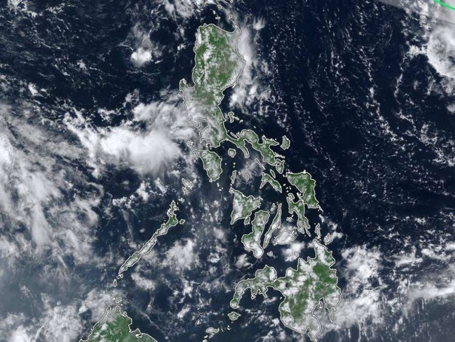
MANILA, Philippines — Tropical Storm "Queenie" (international name: Surigae) will bring rains over Extreme Norhern Luzon over the weekend, the Philippine Atmospheric, Geophysical and Astronomical Services Administration (Pagasa) said on Thursday.
Based on Pagasa's Tropical Cyclone Bulletin issued at 11 a.m. on Thursday, "Queenie" was about 1,310 kilometers east of Northern Luzon as of 10 a.m. and was moving west-northwestward at 35 kilometers per hour (kph) with maximum sustained winds of 75 kph near the center and gustiness reaching 90 kph.
"Strong to gale-force winds extend outwards up to 300 km from the center," Pagasa said.
"Queenie will bring cloudy skies with scattered rainshowers and thunderstorms over Batanes and Babuyan Islands from Saturday (Sept. 26) onwards," it said.
It also said, "The periphery and trough of Queenie will bring strong to gale-force gusts over" these areas "especially in coastal and upland areas exposed to winds:"
Meanwhile, Metro Manila and the rest of the country will have partly cloudy to cloudy skies with isolated rainshowers or thunderstorms and localized thunderstorms, possible flash floods or landslides during severe thunderstorms.
In its 24-hour sea condition outlook in the bulletin, Pagasa said that "Queenie" would bring slight to moderate seas (1 to 2 meters) over Northern Luzon's coastal waters. "Mariners of motor bancas and similarly sized vessels are advised to take precautionary measures while venturing out to sea and, if possible, avoid navigating in these conditions, especially if inexperienced or operating ill-equipped vessels," it said.
Pagasa said Thursday on Facebook that "Surigae" entered the PAR at 7 a.m. and was assigned the local name Queenie.
It said in the bulletin that "Queenie" might turn into a typhoon by Sunday.
It would "continue to move west northwestward" until Friday and turn north northeastward by Monday and would exit the PAR, Pagasa said.
"Surigae is not expected to directly affect the weather condition in the next 3 days," it said.
"Meanwhile, moderate seas will prevail over the eastern seaboard of Northern Luzon beginning Saturday," it said.
Pagasa will issue the next bulleting this 5 p.m.