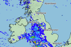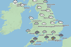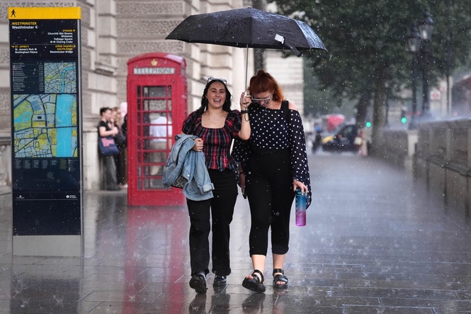
Bank Holiday weekend could be a wash out, as heavy rain and showers are forecast across the UK.
Following what was one of the driest summers to date, six days of rain and strong winds have been forecast from Wednesday to Monday.
Yellow thunderstorm warnings are in place on Wednesday and Thursday across the West and East Midlands, as well as the North West, South East, South West and east of England, and parts of Wales.
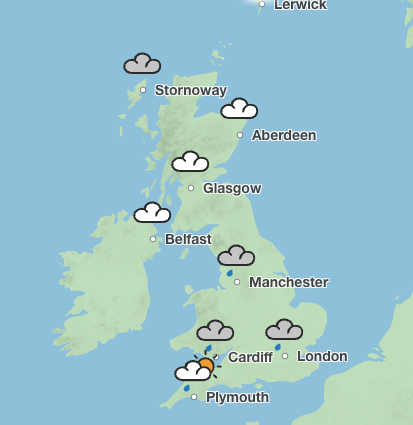
The Met Office has warned that lightning and hail could be widespread as the storms move northwards across both days.
On Saturday, temperatures in the low 20C are forecast across England and Wales. But heavy downpours are also expected to sweep east across the country.
The Met Office has forecast 70 per cent rain coverage in London and Manchester on Saturday, while Cardiff is set to see 90 per cent rain coverage.
In comparison, Edinburgh is forecast to see highs of 21C and 40 per cent rain coverage.
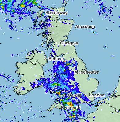
On Sunday, more wet weather is forecast to hit England, Wales and Scotland. London is expected to see rain between 11am and 3pm, while Manchester could see heavy rain from 11am and wet weather is forecast in Cardiff for most of the day.
But the weather is set to brighten up with sunny interludes on Monday in London. According to the Met Office the capital and parts of the south will enjoy highs of 22C and sunshine.
Cardiff could also see a sunnier afternoon on Monday after downpours in the morning.
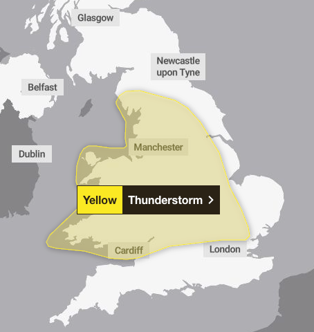
Yellow warnings for thunderstorms are in place in the run up to the Bank Holiday weekend.
The Met Office said that 20 to 30mm of rainfall is expected to accumulate in three hours across the affected areas and up to 50mm in 12 hours can be expected in places on Thursday.
There is a small chance that some places may see more than 50mm in three hours and more than 75mm over 12 hours, especially over east-facing high ground. Lightning and hail of 1-2cm will also be hazardous, the forecaster warned.
Read MoreLarge parts of UK under thunderstorm and flood warnings today – full list of regions