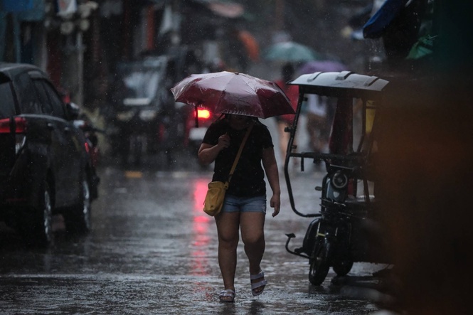
(UPDATE) MANILA, Philippines — Thirteen local government units (LGUs) in Metro Manila and several municipalities and provinces in Luzon suspended face-to-face classes at all levels in public and private schools Saturday as the southwest monsoon, or habagat, continued to affect the region.
The Metropolitan Manila Development Authority (MMDA) identified the affected Metro Manila LGUs as Caloocan, Navotas, Valenzuela, Malabon, Marikina, Quezon, Mandaluyong, Pasay, Manila, Taguig, Parañaque, Las Piñas and Pateros.
Caloocan, Navotas, Malabon, Quezon, Mandaluyong, Pasay, Manila, Taguig, Las Piñas and Pateros also shifted classes to Alternative Delivery Mode, while Valenzuela, Marikina and Parañaque suspended face-to-face classes at all levels in public and private schools.
In Cavite, Naic suspended face-to-face classes at all levels in public and private schools on Saturday. Mayor Rommel Magbitang said modular and online learning would be implemented to ensure the continuity of education while keeping students safe.
In Batangas, Nasugbu and Calatagan also suspended face-to-face classes at all levels in public and private schools on Saturday.
Nasugbu cited the continuing threat from the habagat and said appropriate learning modalities would be implemented to ensure the continuation of learning.
In Calatagan, Mayor Rico B. Puno ordered the suspension upon the recommendation of the Municipal Disaster Risk Reduction and Management Office as a precaution against the continuing effects of the habagat.
In Laguna, Gov. Sol Aragones announced the suspension of classes in all public and private schools on Saturday, Sept. 5.
Alternative Learning Modalities will be implemented for college students, according to the provincial government.
In Pampanga, Guagua suspended all modalities of classes at all levels in public and private schools from Sept. 3 to 5 because of flooding.
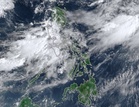
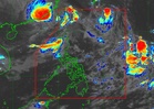
The class suspensions came as Pagasa warned of heavy rainfall, flooding and landslides in several parts of Luzon, including Metro Manila.
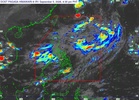
Pagasa continues to monitor a tropical depression which, as of 3 a.m., was 1,685 kilometers east-northeast of extreme Northern Luzon, with maximum sustained winds of 55 kilometers per hour (kph) and gusts of up to 70 kph. It was moving northward at 35 kph.
Pagasa said that the system's current track lowered the chances of its entry into the PAR.
It could, however, re-enter Pagasa's monitoring area within Saturday and possibly enter the PAR on Sunday.
For Sunday, 50 to 100 mm of rain was forecast over Occidental Mindoro, Batangas, Cavite, Bataan, Zambales, Tarlac and Pampanga.
No gale warning was in effect over Philippine coastal waters as of the 5 a.m. briefing.