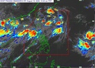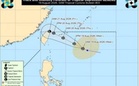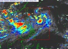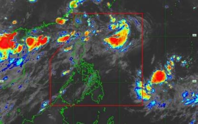
MANILA, Philippines — Tropical Depression "Neneng" has accelerated further as it moves over the eastern coast of Taiwan and will weaken into a remnant low in the next 12 hours, the Philippine Atmospheric Geophysical Astronomical Services Administration (Pagasa) said on Thursday.
In its 5 am bulletin, Pagasa said the center of “Neneng” was seen 380 kilometers north of Itbayat, Batanes, with maximum sustained winds of 45 kilometers per hour (kph) near the center and gustiness of up to 55kph.
No tropical cyclone wind signals are up across the country.
The southwest monsoon is expected to bring cloudy skies with scattered rains and thunderstorms in Metro Manila, the Cordillera Administrative Region, the rest of Cagayan Valley, the rest of Central Luzon, Cavite, Batangas, Laguna, Rizal, Occidental Mindoro, Oriental Mindoro, and Palawan while the Ilocos Region, Batanes, Zambales, and Bataan may experience occasional rains.
The rest of the country will have cloudy to cloudy skies with isolated rainshowers or thunderstorms.
Rough seas could prevail over the seaboards Batanes; the northern and western seaboards of Babuyan Islands; seaboards of Ilocos Norte; seaboards of Ilocos Sur, La Union, and Zambales; western seaboard of Pangasinan; and the northern seaboard of Kalayaan Islands.
Pagasa advised mariners of motorbancas and similarly sized vessels to take precautionary measures while venturing to the sea.