THE Philippine Atmospheric, Geophysical and Astronomical Services Administration (Pagasa) said on Saturday that fair weather would prevail over most parts of the country in the next 24 hours.
It added that the easterlies became the dominant weather system, while two weather disturbances being monitored outside the Philippine area of responsibility (PAR) are not expected to bring any notable effect.
In its 5 p.m. weather update, Pagasa said it was monitoring two weather disturbances outside PAR, noting the first disturbance was last located about 965 kilometers west of Central Luzon, with maximum sustained winds of 45 kilometers per hour (kph) near the center and gustiness of up to 55 kph. It was moving northwestward at 20 kph.
Pagasa weather specialist Daniel James Villamil said the system was moving away from the country and would have no effect on the country’s weather in the coming days.
The second disturbance, Pagasa said, is a low pressure area (LPA), last located about 1,900 kilometers east of Mindanao.
Villamil said the system was not expected to develop into a tropical cyclone and would remain far from the country. “This will not become a storm and will remain far from our country. It will also have no effect on our weather.”
Pagasa said the easterlies, or warm winds from the Pacific Ocean, will become the dominant weather system in the coming days, affecting more areas in the country.
”We can expect generally fair weather, with hot and humid conditions, but there will still be chances of isolated rain showers or localized thunderstorms,” Villamil said.
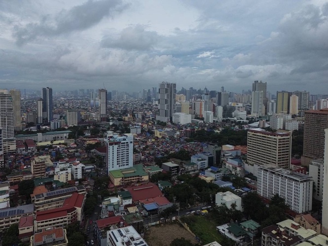
Pagasa said Metro Manila and much of Luzon would experience generally fair weather, with no sustained or prolonged rainfall. Isolated rain showers or localized thunderstorms may develop from afternoon to evening.
High maximum temperatures are expected around noon and in the afternoon, it added.
Similar weather conditions are expected over Palawan, Visayas and Mindanao, with hot and humid weather from morning to noon and chances of sudden, brief rain showers from afternoon to evening due to localized thunderstorms.
Pagasa said no gale warning is currently in effect over Philippine waters, with slight to moderate seas expected over most areas.
The weather bureau, however, advised those traveling by sea to remain cautious as offshore thunderstorms may produce sudden gusts of wind and slightly higher waves.
Metro Manila, Baguio and Legazpi are expected to experience hot and humid weather from Monday to Wednesday, although afternoon to evening rain showers or thunderstorms remain possible.
Most of the Visayas will experience generally fair weather. However, Pagasa said Western Visayas, particularly Iloilo, could experience cloudy skies and scattered rain showers by Wednesday due to the possible formation of an LPA near the country’s landmass.
The western sections of Visayas and Mindanao could experience sustained rainfall by Wednesday, according to Pagasa, although the five-day forecast remains subject to a high degree of uncertainty.
In Mindanao, most areas are expected to experience generally fair weather from Monday to Wednesday, with isolated rain showers or localized thunderstorms possible.