MANILA, Philippines — The Philippine Atmospheric, Geophysical and Astronomical Services Administration (Pagasa) said the southwest monsoon or habagat could end within the first half of October.
“Simultaneous with the end of the southwest monsoon, our rainy season will also end,” Pagasa Weather Specialist Leanne Loreto said in Filipino and English during the 5 a.m. Public Weather Forecast on Thursday.
“After our southwest monsoon, [we will have] our transition period toward the amihan or northeast monsoon,” Loreto said.
She said the northeast monsoon, or “our cool and dry season,” could start in the second half of October. However, she said that because of El Niño, temperatures might not be as cold as in previous years.
Loreto also said “other weather systems” could bring rain to the country, including the Intertropical Convergence Zone (ITCZ), easterlies and low-pressure areas that might form.
“Aside from that, it is possible for us to have one to two more storms in the month of October, and the next names are Rosal and then Samuel,” she said.
“Based on our monthly climatological tropical cyclone tracks, usually in the month of October, our tropical cyclones or storms have a high chance of landfall in Luzon and the Visayas,” Loreto said.
She reminded the public, however, that El Niño could affect future weather conditions, as well as the frequency and behavior of storms.
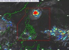
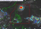
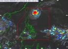
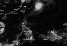
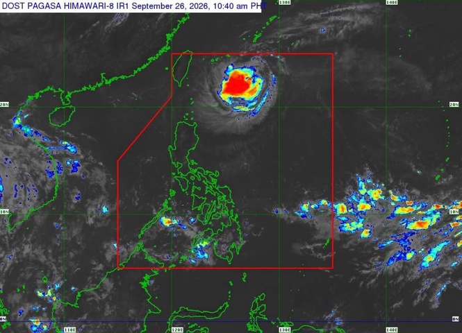
Pagasa Weather Specialist John Manalo said in the 5 p.m. weather update on Thursday that, based on the forecast, the western and central parts of the Visayas and a large part of Mindanao would continue to experience cloud cover due to the trough of “Choi-Wan” and, partly, the ITCZ.
He said the “chance of rains is slightly high” because of the cloud cover, but these rains were not expected to cause widespread flooding “unless the thunderstorms are well developed.”
Manalo said flooding was still possible, especially in flood-prone areas, if thunderstorms develop while cloud cover remains thick.
“Choi-Wan” is a tropical storm outside the Philippine Area of Responsibility (PAR).
“Based on our analysis and forecast, this will not enter the” PAR, Manalo said.
Based on data presented during the weather update, “Choi-Wan” was 2,660 kilometers east of Central Luzon as of 3 p.m. Thursday and was moving westward at 15 kilometers per hour (km/h), with maximum sustained winds of 75 km/h and gustiness of up to 90 km/h.
Manalo said the storm’s movement would eventually become northwestward.
As for Metro Manila, he said it would continue to experience conditions similar to those in previous days.
“So, less cloud cover but localized thunderstorms are still possible,” he said.
For Friday, Manalo said Metro Manila and the rest of Luzon, including Palawan, would experience less cloud cover, although localized thunderstorms remained possible.
In the Visayas and Mindanao, he said the western parts of the Visayas and a large part of Mindanao would be cloudy on Friday.
“We do not see” rains becoming very heavy, he said.