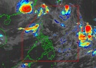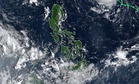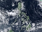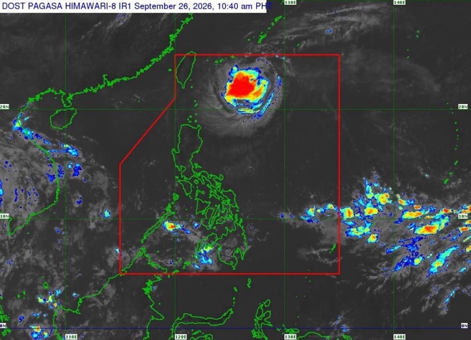
MANILA, Philippines — Severe Tropical Storm Queenie is nearing typhoon category as it continues to move west-northwestward over the Philippine Sea, the state weather bureau said Saturday.
The Philippine Atmospheric, Geophysical and Astronomical Services Administration (Pagasa), in its 11 a.m. bulletin, said Queenie was located 575 kilometers east-northeast of Itbayat, Batanes as of 10 a.m.
Queenie has maximum sustained winds of 110 kilometers per hour (kph) near the center, with gustiness of up to 135 kph.
It is moving west-northwestward at 10 kph, with strong to storm-force winds extending up to 280 kilometers from the center.
No tropical cyclone wind signal was raised over the country.
Queenie is unlikely to directly affect the Philippines throughout the forecast period, according to Pagasa.
Moderate seas of up to 2 meters are expected along the seaboards of Isabela, the northern seaboard of Batanes and the eastern seaboard of Davao Oriental.
Pagasa advised operators of motorbancas and similarly sized vessels to take precautionary measures while at sea and, if possible, avoid navigating under these conditions.
Queenie is expected to continue slowing down while turning northward over the next 12 hours before turning north northeastward by Sunday morning.
On the forecast track, the storm is expected to leave the Philippine Area of Responsibility between Sunday afternoon and evening before accelerating northeastward toward waters south of mainland Japan.
The weather bureau said Queenie would likely reach typhoon category on Saturday and strengthen further while moving over the sea south of the Okinawa Islands.
The storm is expected to reach peak intensity before weakening by Monday.