MANILA, Philippines — The Philippine Atmospheric, Geophysical and Astronomical Services Administration (Pagasa) forecast hot and humid weather and thunderstorms in Luzon on Tuesday.
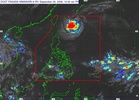
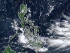
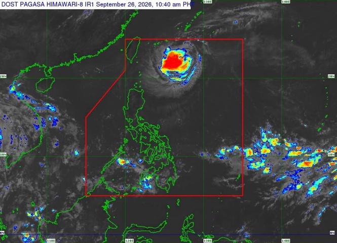
Citing Pagasa's latest satellite animation, Weather Specialist Charmagne Varilla said the Intertropical Convergence Zone (ITCZ) was bringing moderate to occasionally heavy rains to Palawan and Mindanao.
For Tuesday's weather forecast, Varilla told the public to "expect that a big part of Luzon will still experience hot and humid weather, most especially in the morning to noon."
"And by the afternoon to evening, localized thunderstorms will be there again," Varilla said.
She also said the ITCZ would move northward and cover the entire Visayas, as well as affect Palawan and the whole of Mindanao.
"So, let us expect the skies to be cloudy as well as scattered rainshowers," she said.
For the next three days, Varilla said generally fair weather would prevail in a large part of Bicol, including Legazpi City, until Thursday. However, rainy conditions could develop from Thursday to Friday due to the trough of a possible storm or low pressure area.
She said the intensification of the northeasterly windflow would bring cloudy skies and rains to parts of Cagayan, Isabela, Batanes, Apayao and Kalinga.
In the rest of Northern Luzon and parts of Central Luzon, the northeasterly windflow is expected to move southward, "which would cause a decrease in localized thunderstorms including in Baguio City and a big part of the Cordillera," Varilla said.
For the rest of Luzon, generally fair weather is expected over the next three days, although isolated rainshowers and thunderstorms could still occur, particularly in the afternoon.
In the Visayas, rainy weather due to the ITCZ is expected to persist until Wednesday. Better weather conditions could prevail from Thursday to Friday, Varilla said.
"And to our countrymen in Mindanao, the high chances of rains there will persist over the next three days," she said.