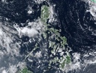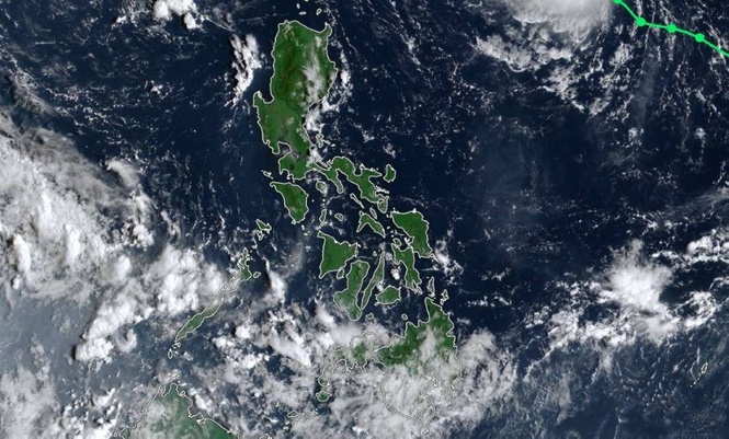
MANILA, Philippines — Tropical Storm "Queenie" may intensify into a typhoon by Sunday as it moves across the North Philippine Sea, although it is not expected to make landfall in the Philippines, the state weather bureau said on Friday.
The Philippine Atmospheric, Geophysical and Astronomical Services Administration (Pagasa) said that Queenie, internationally named Surigae, maintained its strength as of 5 a.m. and was moving northwestward at 20 kilometers per hour (kph).
“Queenie has maintained its strength while traversing the North Philippine Sea,” Weather Specialist Leanne Loreto said in Filipino.
The tropical storm had maximum sustained winds of 75 kph near the center and gustiness of up to 90 kph.
Queenie was located far from Philippine land areas and had no direct effect on the country, Loreto said.
No wind signals have been raised over the Philippines as of 5 a.m.
Based on the latest forecast track and intensity, Queenie is not expected to make landfall in any part of the country.
“From now until tomorrow afternoon, Tropical Storm Queenie may continue moving west-northwestward and gradually intensify or strengthen as it traverses the North Philippine Sea,” Loreto said in Filipino and English.
From Saturday afternoon through Sunday, the storm is expected to turn northeastward toward the southern islands of Japan.
Pagasa said that Queenie could leave the Philippine Area of Responsibility by Sunday afternoon or early Monday morning. Before exiting, however, it could further intensify and reach typhoon category by Sunday.
“But it will have no effect on our country,” Loreto said in Filipino.
If the storm moves closer to Batanes and Cagayan on Saturday or Sunday, wave heights in the areas could increase, although Pagasa does not expect to raise a gale warning.
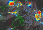
Meanwhile, the Intertropical Convergence Zone, or ITCZ, will continue to affect parts of the country over the next four days.
Nearly all of Mindanao is expected to experience cloudy weather, scattered rain, thunderstorms and lightning, while the ITCZ could shift toward Palawan, the Visayas and Mindanao by Saturday, Pagasa said.
On the southwest monsoon or habagat, Pagasa's latest projections showed the season could end within the next two weeks, according to the weather bureau.
“Within the next two weeks, it is possible that we may terminate and declare the termination of the habagat,” Loreto said in Filipino and English.
She added that once the habagat ends, the country will transition to the amihan season.
Pagasa's next update on Queenie is at 11 a.m.