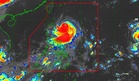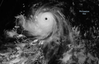
MANILA, Philippines — The national weather bureau said on Wednesday that Tropical Storm "Higos" (international name) may enter the Philippine Area of Responsibility (PAR) late Thursday.
Nathaniel Servando, Philippine Atmospheric, Geophysical and Astronomical Services Administration (Pagasa) chief, said Higos was 2, 120 kilometers east of Central Luzon (outside PAR) while moving west-northwestward at 20 kilometers per hour (kph).
Packing maximum sustained winds of 65kph near the center and gustiness of up to 80kph, the tropical storm may enter PAR late Thursday.
Its direction will likely be over extreme Northern Luzon but will exit PAR the following day, the state-run weather agency said.
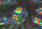
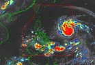
Meanwhile, Typhoon "Francisco" was forecast to exit PAR on Thursday, according to the Pagasa administrator.
Francisco continues to weaken while over the Philippine Sea, the weather agency said as Signal No. 1 remained over Batanes and the northeastern portion of Cagayan.