MANILA, Philippines — The Department of Science and Technology-Philippine Atmospheric, Geophysical and Astronomical Services Administration (DoST-Pagasa) said the strong El Niño was expected to turn very strong and last until the middle of next year.
In a Sept. 23 statement, the DoST-Pagasa said that a strong El Niño was active in the Tropical Pacific.
"According to climate models and expert evaluations, the phenomenon is expected to intensify into a Very Strong El Niño between the September-December 2026 season and persist through the first half of 2027," it said, strongly urging all authorities and the public to "implement conservation and mitigation strategies immediately."
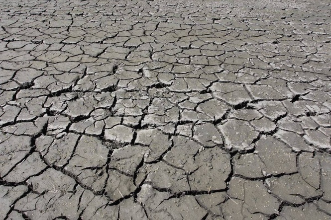
El Niño generally causes "warmer temperatures and below-normal rainfall" in most of the Philippines, the DoST-Pagasa said.
It emphasized, "Prolonged rainfall deficits increase the risk of severe agricultural dry spells and water supply stress, threatening food security, water resources, energy production, public health, and the broader economy."
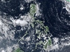
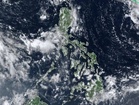
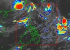
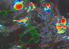
It also emphasized, "Despite overall dry conditions, the ongoing Southwest Monsoon (Habagat) and active tropical cyclones may still bring localized, above-normal rainfall—particularly to the western section of the Philippines."
DoST Secretary Renato Solidum Jr., it said, urged local governments and key sectors to take proactive action based on data well ahead the full impact.
"Climate information must be utilized before a crisis strikes," Solidum said. "Adjusting farming schedules and preparing communities, infrastructure, and essential services early is vital," he said.
The DoST-Pagasa "has developed localized climate projections and CliMap, allowing users to access historical data and localized projections down to the municipal level to support long-term adaptation," he said.