MANILA, Philippines — The Philippine Atmospheric, Geophysical and Astronomical Services Administration (Pagasa) forecast that Luzon's weather conditions on Wednesday would be similar to those on Tuesday.
In the 5 p.m. Public Weather Forecast on Tuesday, Weather Specialist Benison Estareja said in Filipino and English as to Luzon that weather conditions similar to Tuesday "will be felt tomorrow."
He a said a big portion would be sunny on Wednesday morning up to noon, "except for light rains in" some parts of southern Bicol, the Mindoro provinces, and Romblon.
"By afternoon up to evening, skies will still be mostly cloudy and there is also a chance of scattered rains and thunderstorms," he said.
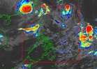
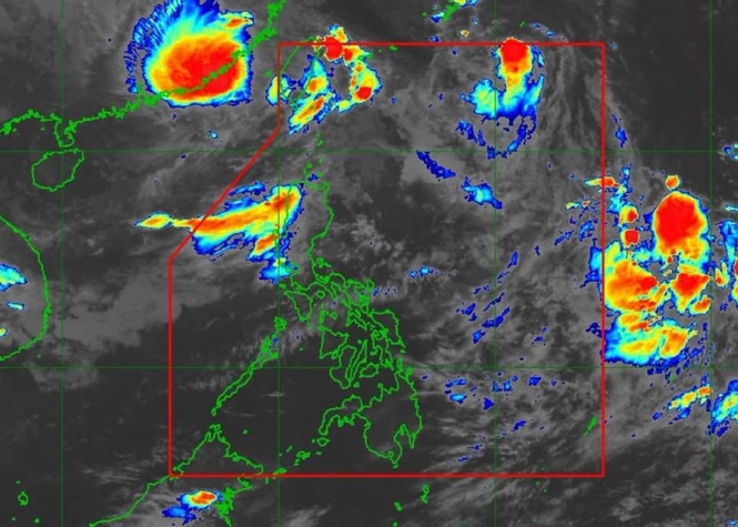
Estareja said a big part of the Visayas would have rains on Wednesday due to the trough of the Tropical Depression.
"The chance of rain tomorrow is high" in Central Visayas and Eastern Visayas, he said. "Light to moderate rains are possible as early as the morning and thunderstorms are also possible or rains will intensify by the afternoon up to evening," he said.
As to the weather in Western Visayas, Negros Island Region, and a big part of Palawan on Wednesday, he said that cloudiness was possible "before noon" and that the sun would peek occasionally. But by afternoon up to evening, he said, the skies would be mostly cloudy "and there is also a chance of rains and thunderstorms."
As to Mindanao, he said the chance of rain due to the Tropical Depression's trough was highest in Northern Mindanao, Caraga, and Davao Region "where rains will be frequent all day tomorrow, rains, generally light to moderate rains, and there will also be thunderstorms in the afternoon or evening."
As to the rest of Mindanao, he told the public to expect partly cloudy and sometimes cloudy skies. He said there was a chance "of hot and humid weather—especially in Zamboanga, up to 34 degrees Celsius—and there will also be localized thunderstorms or isolated rainshowers by afternoon up to evening," he said.
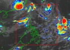
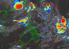
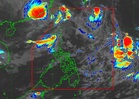
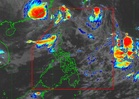
The tropical depression, formerly a low pressure area, was outside the Philippine Area of Responsibility (PAR). Based on data shown during the forecast, it was 1,885 kilometers east of southeastern Luzon as of 3 p.m. and was moving northward at 15 kilometers per hour (km/h) with maximum sustained winds of 45 km/h near the center and gustiness reaching 55 km/h.
Citing Pagasa's latest track, Estareja said the tropical depression's general movement "within the next five days is northwestward." That meant it could enter the PAR on Thursday, he said.