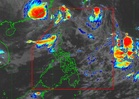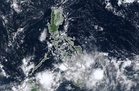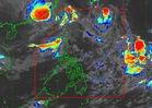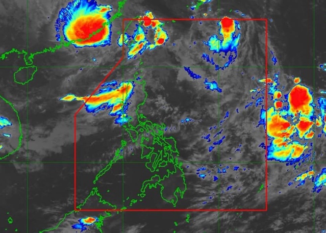
MANILA, Philippines — The southwest monsoon continues to affect the western sections of Southern Luzon and the Visayas, bringing overcast skies and a high likelihood of rain over several provinces, the state weather bureau said Friday.
In its 5p.m. weather advisory, the Philippine Atmospheric, Geophysical and Astronomical Services Administration (Pagasa) Weather Specialist Loriedin De La Cruz - Galicia stated that persistent rains and cloudy skies are expected over Occidental Mindoro, Palawan, and Western Visayas due to the monsoon system.
The monsoon is likewise causing partly cloudy to cloudy skies with light rains and isolated thunderstorms across the Negros Island Region and the Zamboanga Peninsula.
In Metro Manila and the rest of the country, fair weather with partly cloudy to cloudy skies is expected during the morning and early afternoon, followed by localized thunderstorms in the late afternoon or evening.
Pagasa confirmed that no active tropical cyclone is inside the Philippine Area of Responsibility (PAR), though forecasters are monitoring two weather disturbances outside the country's boundaries.
Meanwhile, severe tropical storm "Dujuan" was tracked 2,190 kilometers east-northeast of Extreme Northern Luzon, moving west-northwestward toward southern mainland Japan without direct impact on the Philippine landmass or the monsoon.
A low pressure area was also located 140 kilometers south of Pag-asa Island in Kalayaan, Palawan, carrying a low probability of developing into a tropical depression and posing no direct effect on any region.
According to Pagasa, no gale warnings are currently raised over any of the country's seaboards, although moderate sea conditions persist over Extreme Northern Luzon.
Temperatures in Metro Manila are projected to range between 25°C and 32°C, Baguio City between 17°C and 24°C, Legazpi City between 24°C and 31°C, Metro Cebu between 25°C and 31°C, and Metro Davao between 26°C and 32°C, the weather bureau said.